

I continued my trip with a second day spent in the state of Colorado. The goal for today was to finish up some morning sightseeing in Denver, which I had only experienced briefly the night before, and then spend most of the day to the south in Colorado Springs. The latter location is best known as the home of the United States Air Force Academy, situated at the foot of some spectacular mountain scenery. This was going to be one of the shorter days in terms of driving distance, but it ended up being packed full of sightseeing just like pretty much every other day of my vacation. At least this was one day where I was able to catch a bit more sleep by waking up at 7:30 AM instead of rising in the predawn hours.
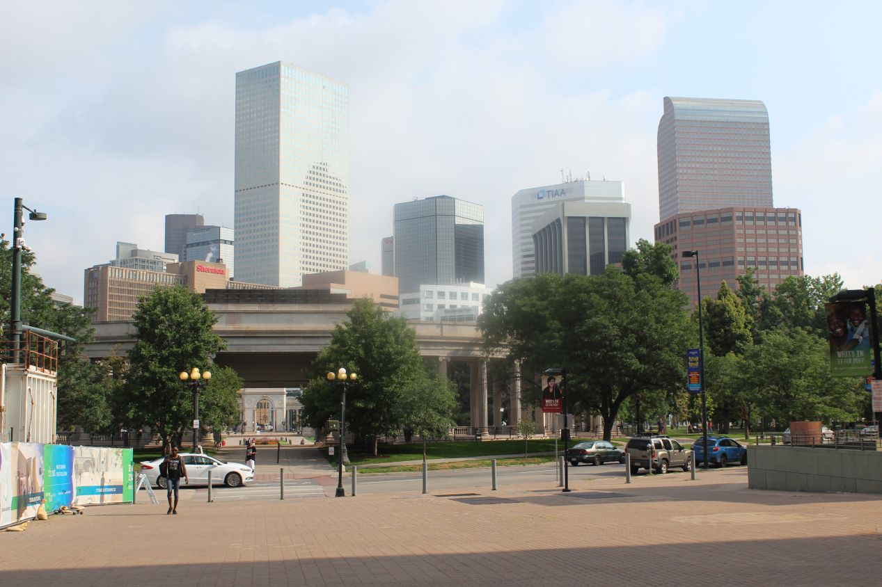
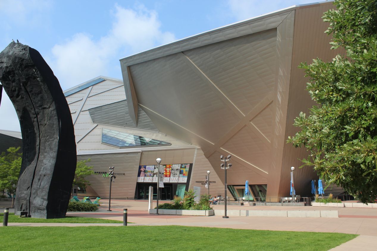
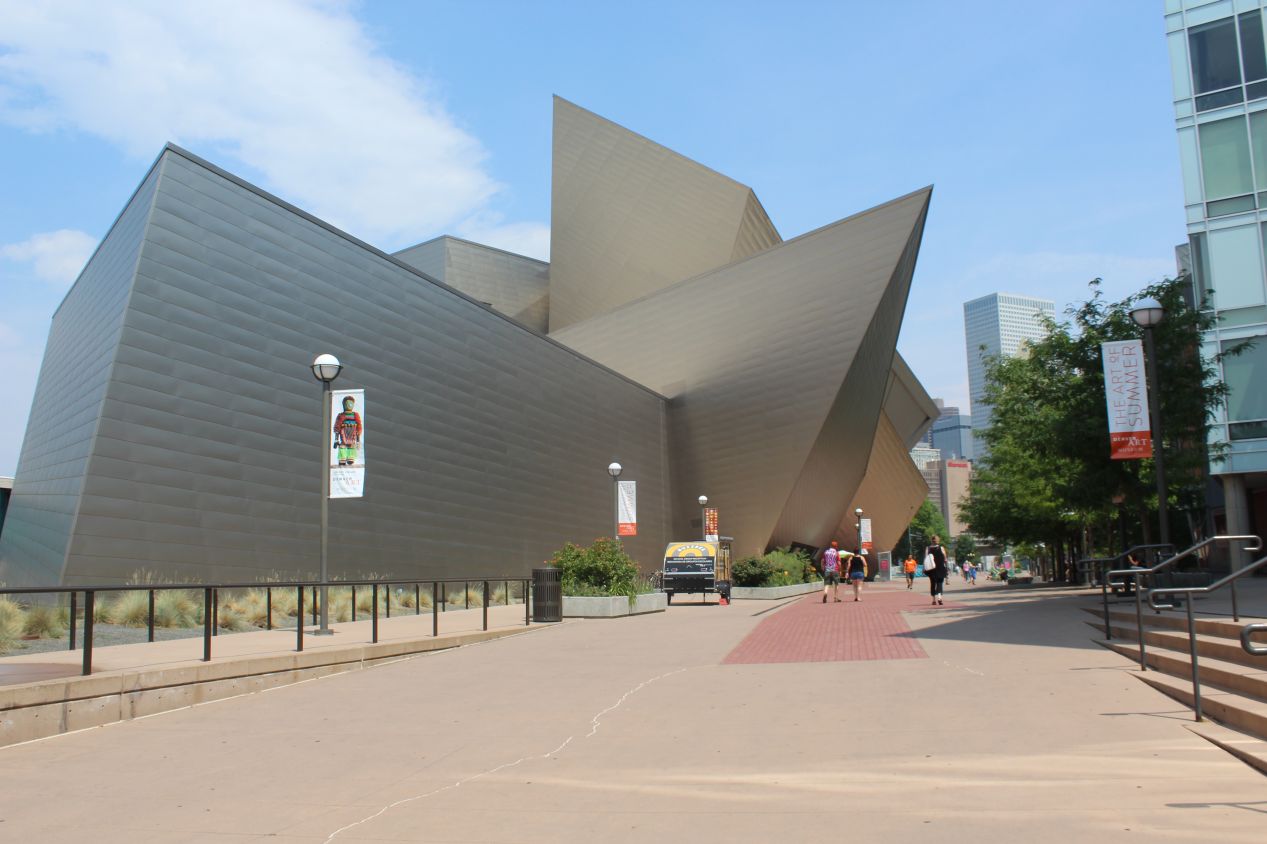
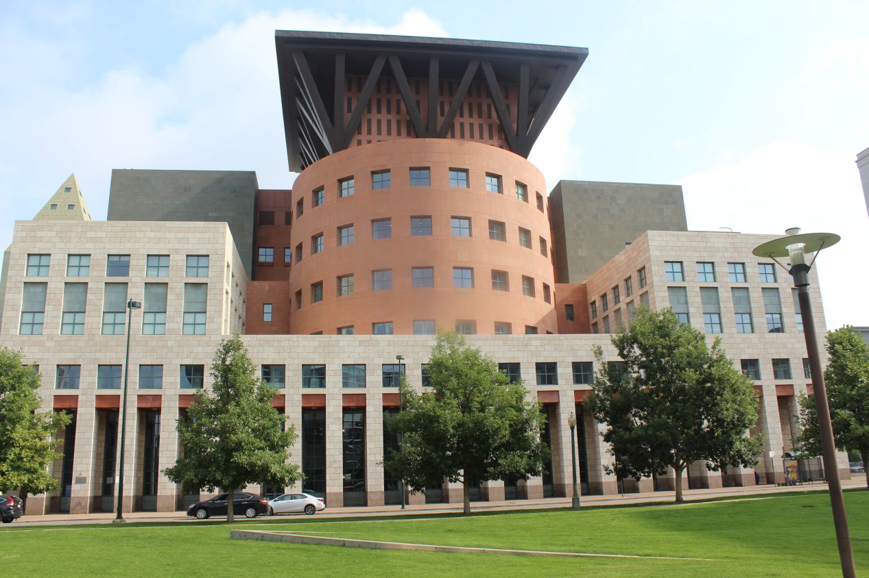
After eating a quick breakfast, I checked out of my hotel and drove to the southern side of Denver's downtown, in the area known as the Capitol Hill district. This is the part of the city that contains the government buildings along with Denver's cultural and educational institutions. From this vantage point I was looking north at the skyscrapers in the business district, surrounded more immediately by the outdoor sculptures of the Denver Art Museum. The museum itself was made up of a series of strange pointed angles, and outside were some weird art installations with a curvy stone pillar and a giant broom sweeping trash into a dustbin. As usual for me, I was choosing to pass up visiting the Denver Art Museum in favor of seeing the local history museum instead. (Apologies to art lovers as always.) The tall building in the last picture was the Denver Central Library, which was already open to the public on this Saturday morning. I took a quick look inside, and wished that I'd had time to explore some of its book collections.
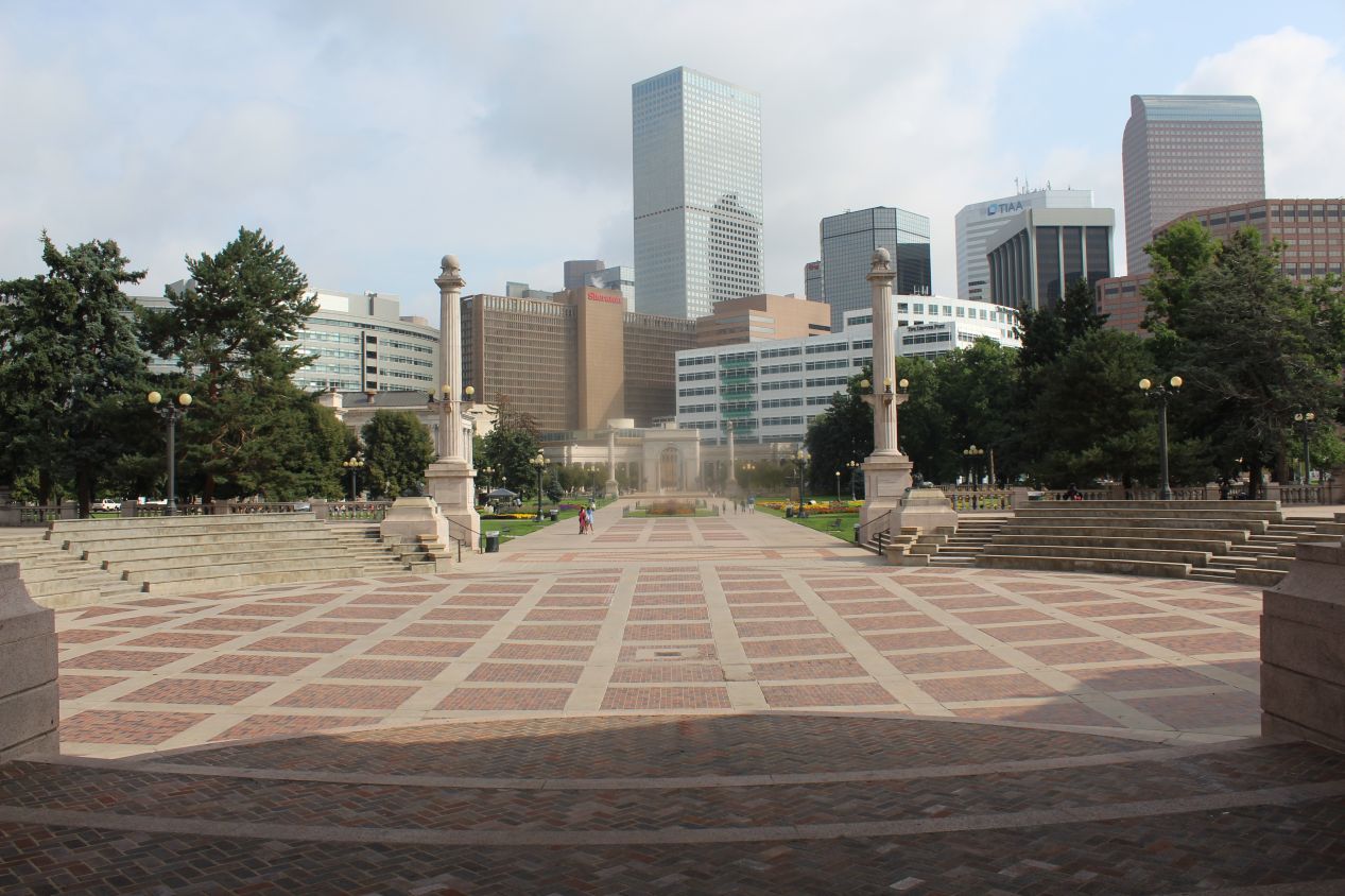
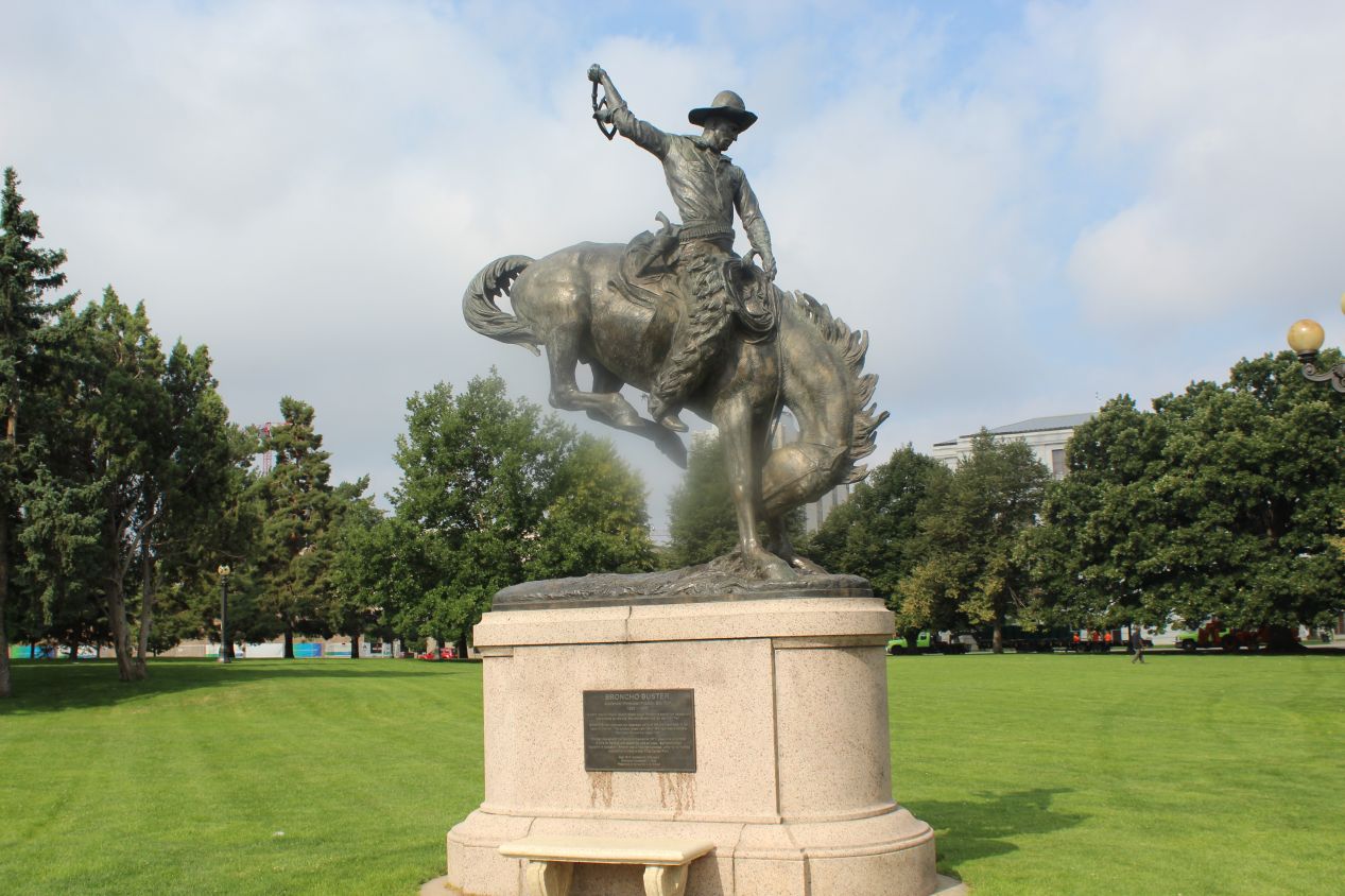
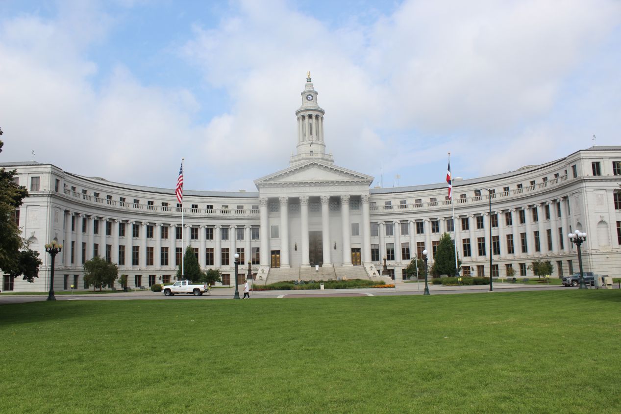
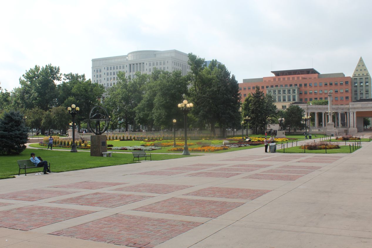
From the Denver Art Museum it was less than a block's walk to Civic Center Park, a green space situated in the heart of the city. Civic Center Park was developed in the early 20th century, at a time when classically-themed architectural designs were all the rage, and this was demonstrated by the Greek amphitheatre that I walked through as I entered the park. I could have been in ancient Rome with all of the arches and pillars surrounding me at the park entrance. Most of the park was made up of curated beds of flowers with various different sculptures scattered about along the paths. The "Broncho Buster" sculpture of a cowboy on a rearing horse was the most interesting of the group. At the western end of Civic Center Park lies the Denver City Council building, the seat of the city's government. Right behind that building was the Denver branch of the US Mint, one of the few coinage mints still in operation. That had been one of the places that I considered visiting but it was unfortunately not open on weekends.
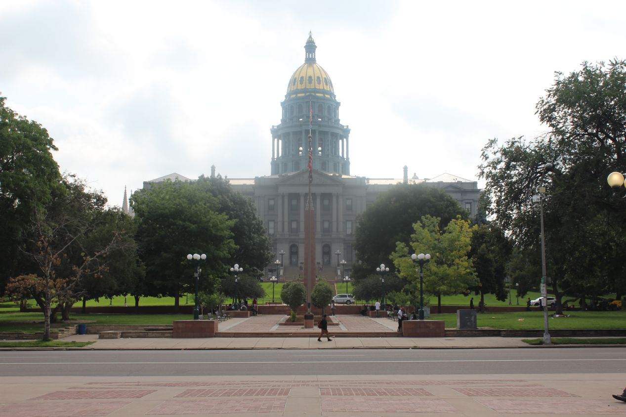
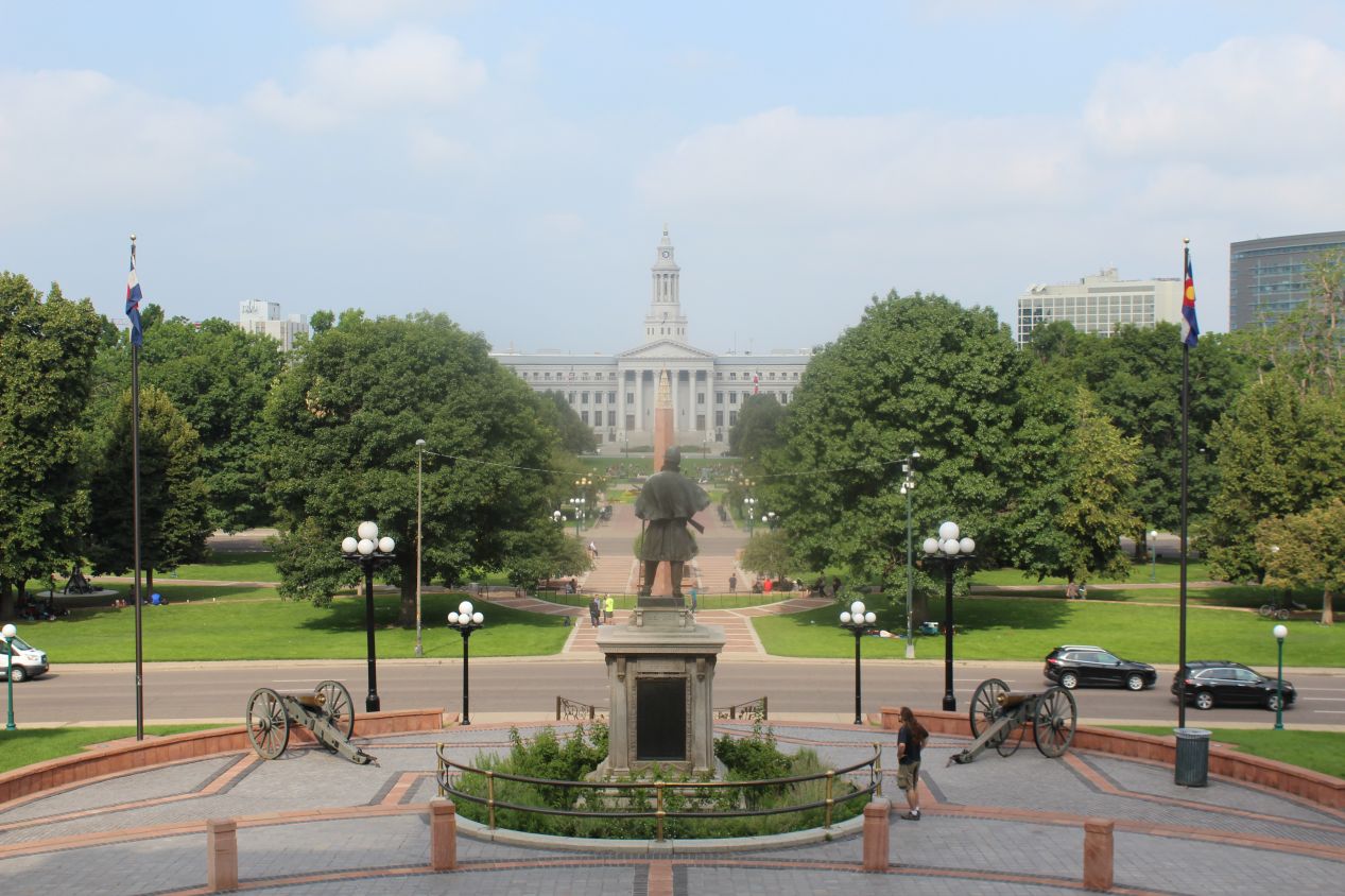
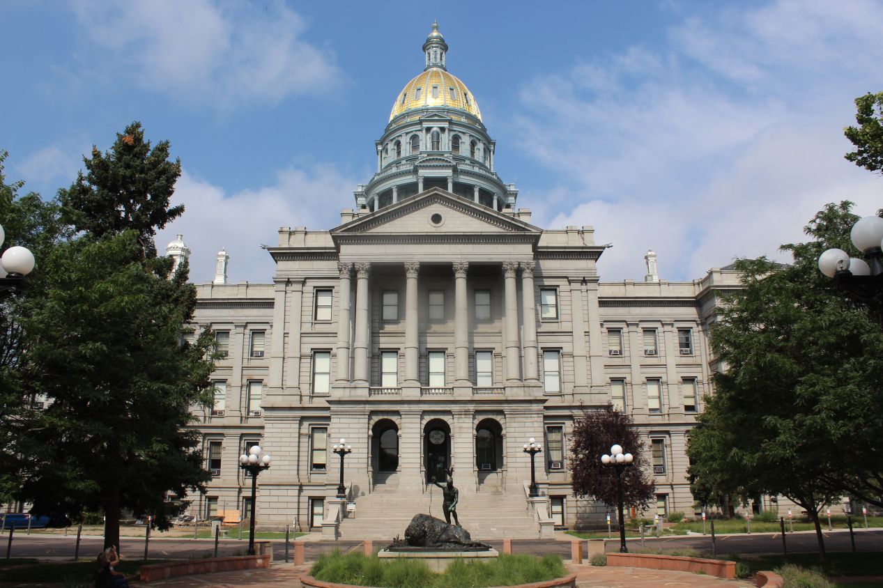
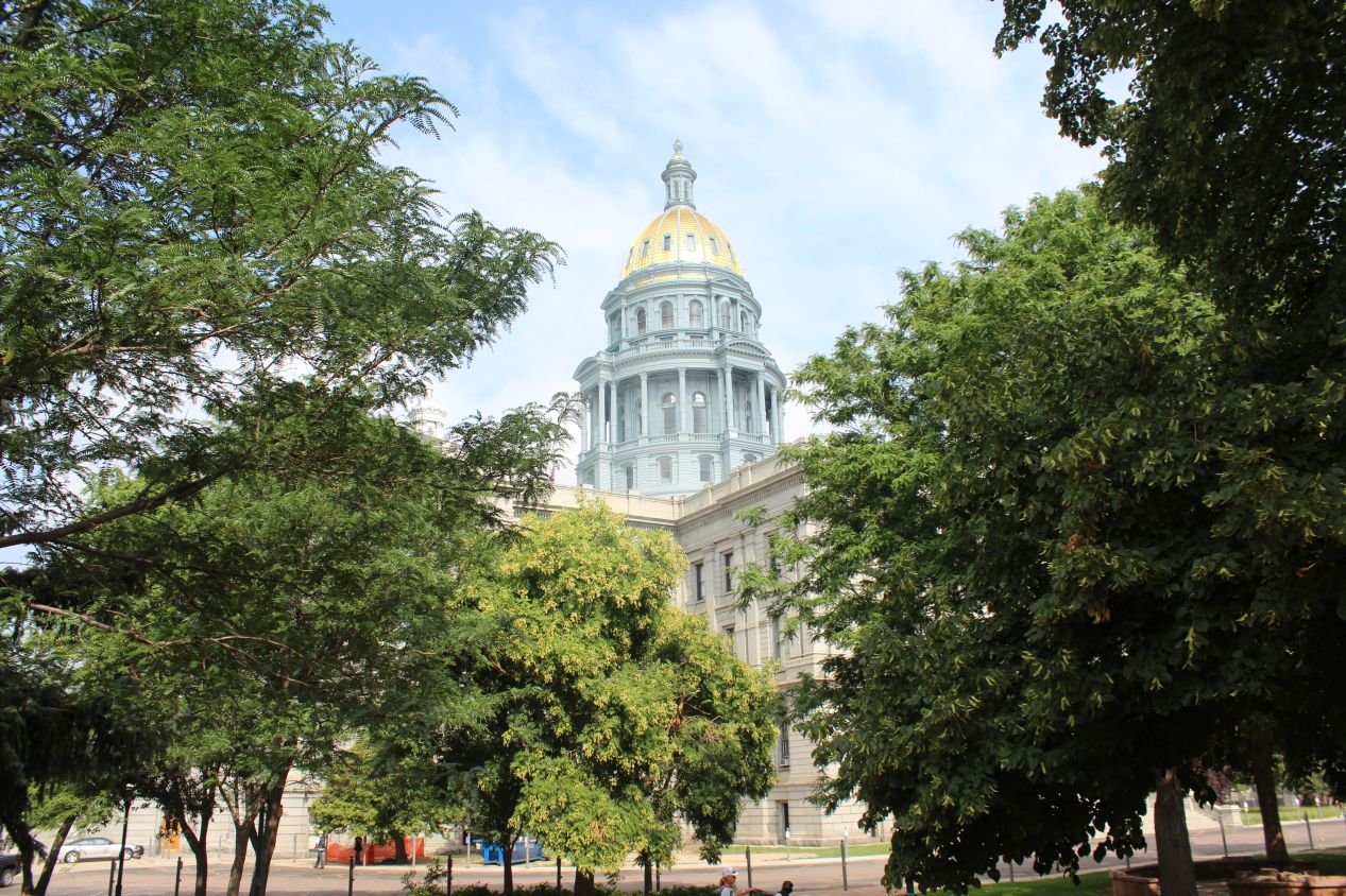
On the other side of Civic Center Park was this much larger structure, the Colorado State Capitol building. This is where the Colorado General Assembly and the Governor of Colorado hold their offices, another one of the series of state capitol buildings that I was visiting as part of this trip. The Colorado version looked similar to most of the others that I had seen thus far: Neoclassical styling for the core of the building, with pillars over the main entrances, and then a tall circular dome in the center of the structure. The were some small distinguishing details here, however, most notably the green coloring of the dome outside of the gold leaf up near the top. I'm not exactly sure why the architects chose to use green in this fashion but it did help to make the Colorado State Capitol stand out a bit. The steps up to the building also contained a plaque indicating where visitors were exactly "One Mile Above Sea Level", in other words the exact point of 5280 feet (1609 meters) of elevation. Denver is popularly known as the "Mile High City" due to this coincidental quirk of elevation. I wanted to visit the interior of the building where there's supposed to be some rare rose marble and beautiful stained glass windows, but unfortunately this was a Saturday morning and the building was closed for the weekend. My original goal had been to make it to Denver the previous afternoon, and I had simply spent too much time up in the Rockies.
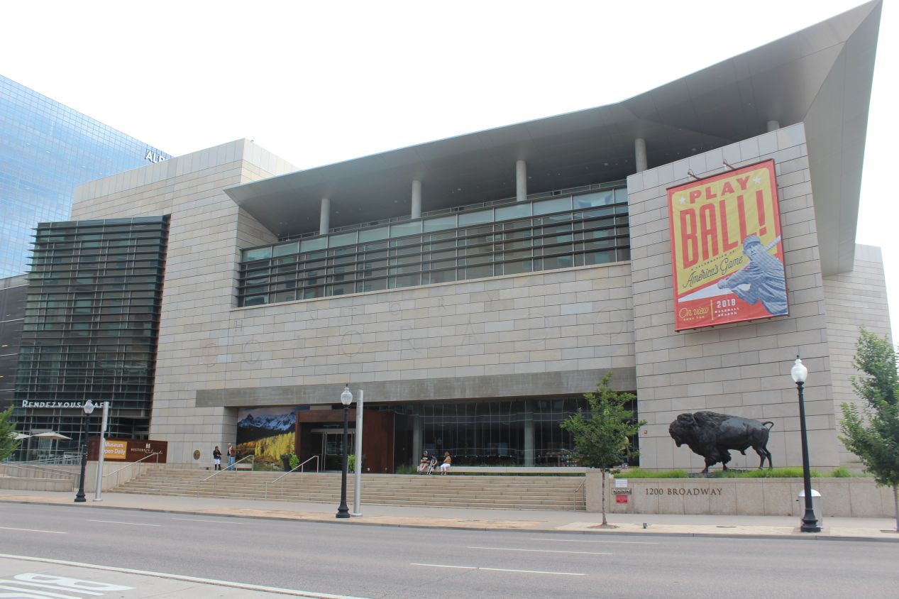
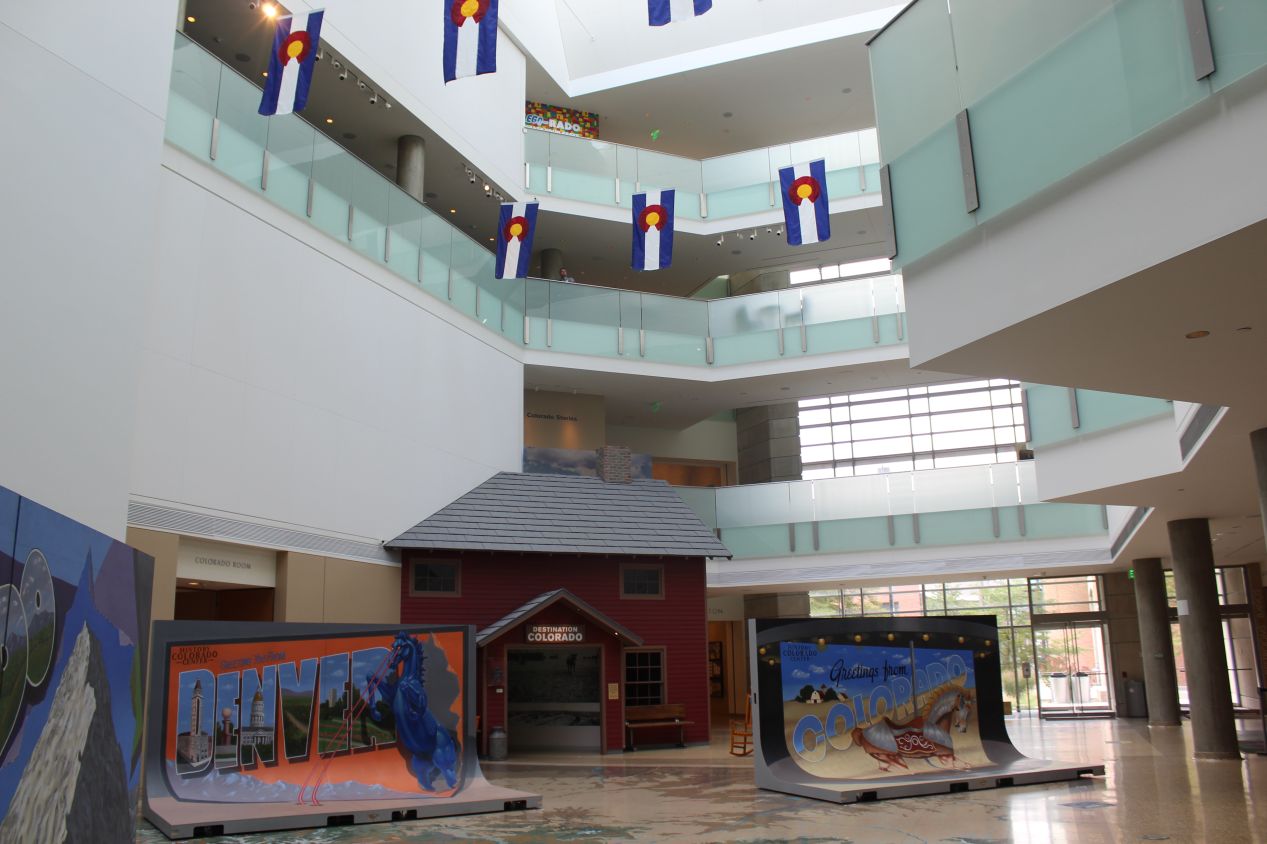
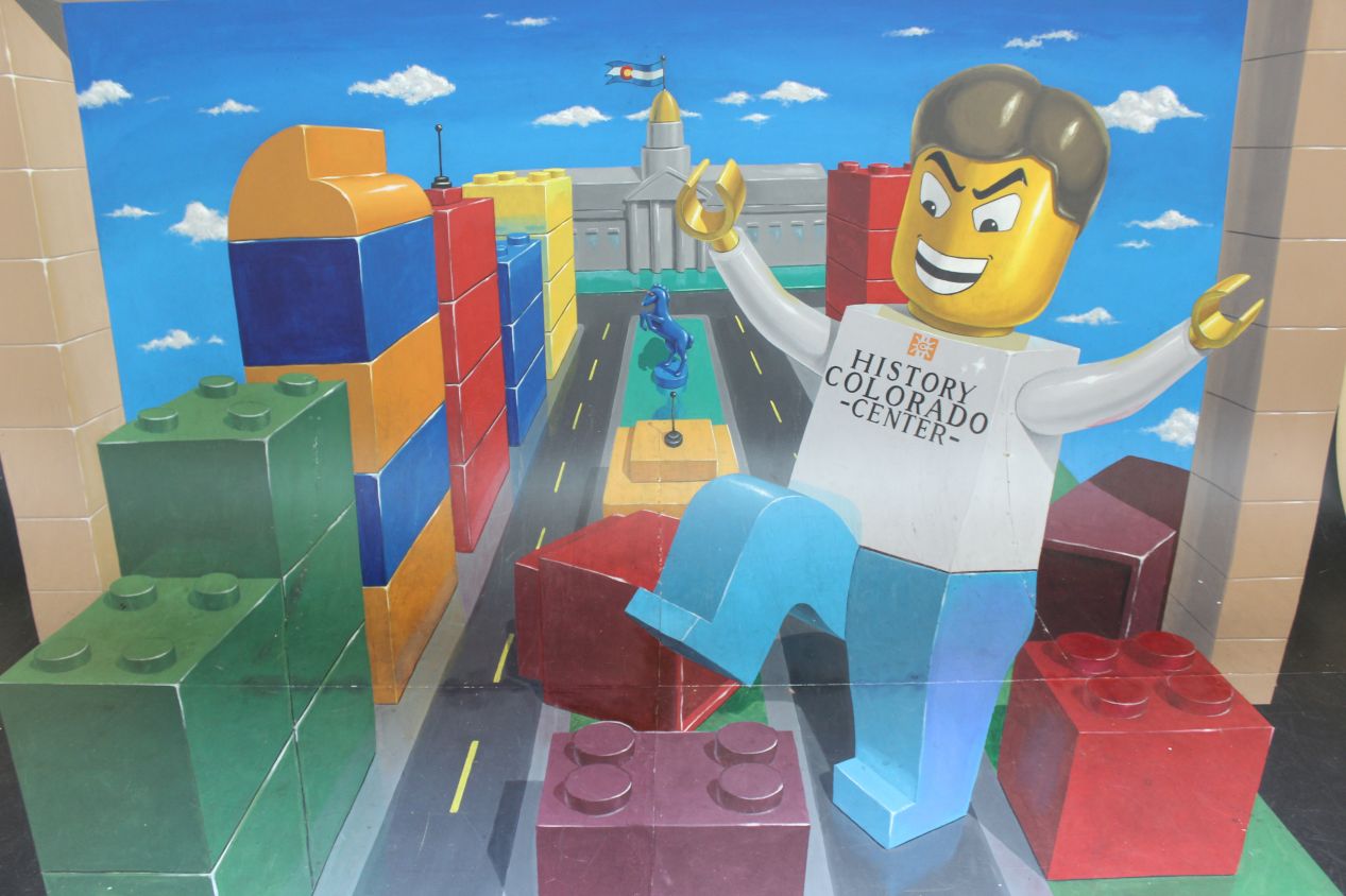
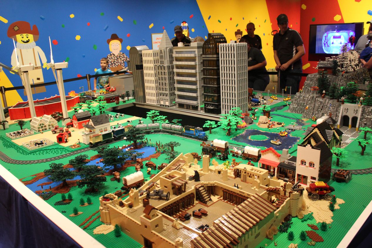
One museum that was still open was the History Colorado Center, which I went to see just as it was opening for the day at 10:00 AM. The History Colorado Center is one of the newer additions to the collection of museums in downtown Denver, opening in 2012 as a replacement for the demolished Colorado History Museum. This attraction had four floors of different exhibits, many of which were designed to cater to youngsters. The Lego room in particular would have been perfect for kids, where there was a series of large Lego displays with various different themes related to the state of Colorado. That seemed to be the most crowded room in the museum when I visited.
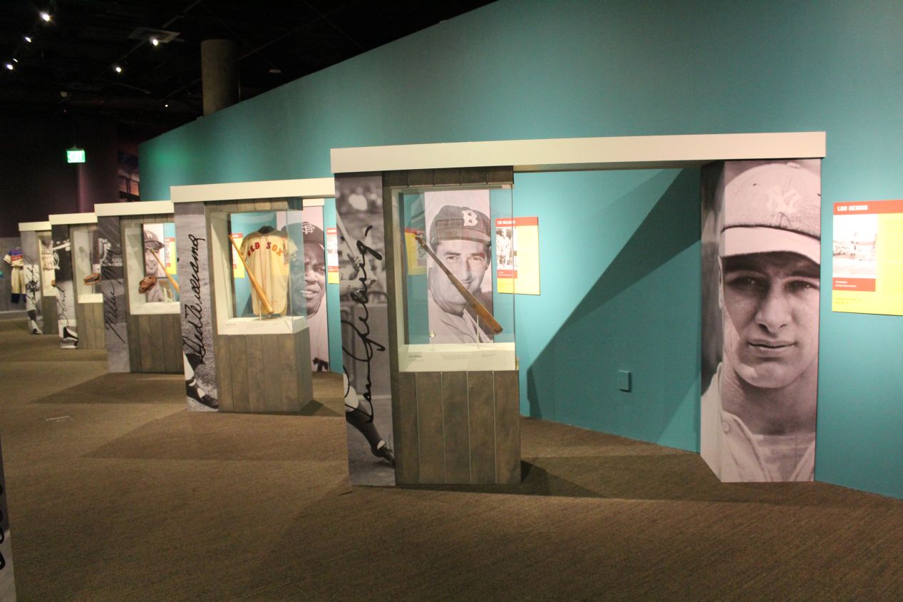
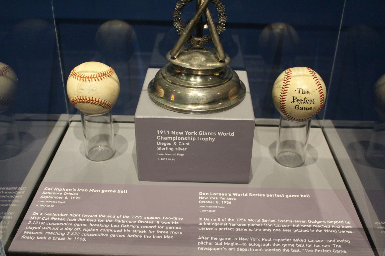
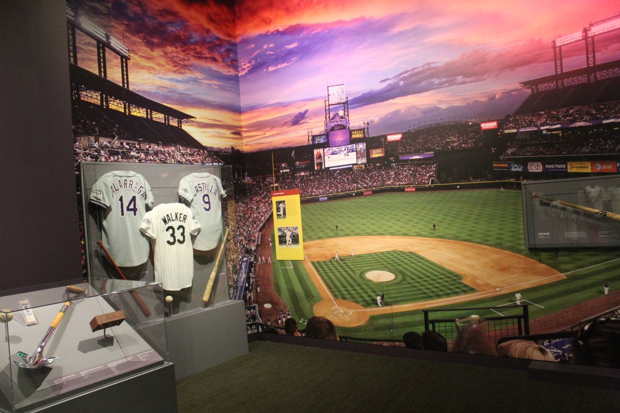
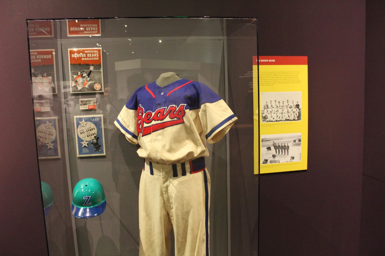
Upstairs on the top floor was a temporary exhibit dedicated to baseball, a topic right in my wheelhouse. There was memorabilia on display from a whole slew of Hall of Famers dating back to the early 20th century, including somewhat randomly the trophy from the 1911 World Series. I loved the two game balls on display here: the ball from Don Larsen's perfect game in the 1956 World Series, and the ball from Cal Ripken's Ironman game in 1995. That second one holds special relevance for me since I was at that game!!!  No joking around here, I went to that game with my family in 1995 at the age of 13 after we were able to get tickets in an incredible coincidence through my brother's youth baseball team. (We had ordered the tickets the year before, and then the baseball strike of 1994-1995 rearranged the calendar and caused that particular game to be the streak-breaking one.) Elsewhere in the exhibit there was a focus on the history of baseball in the state of Colorado, where the Denver Bears were apparently a longtime successful AAA club before the big leagues arrived with the Colorado Rockies in 1993. The big picture on the wall from the first game played in Denver was taken from nearly the same vantage point where I had been sitting the night before.
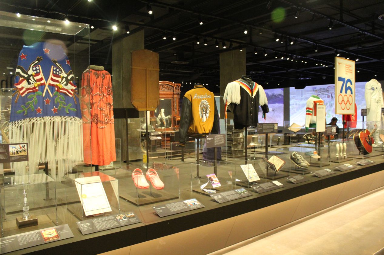
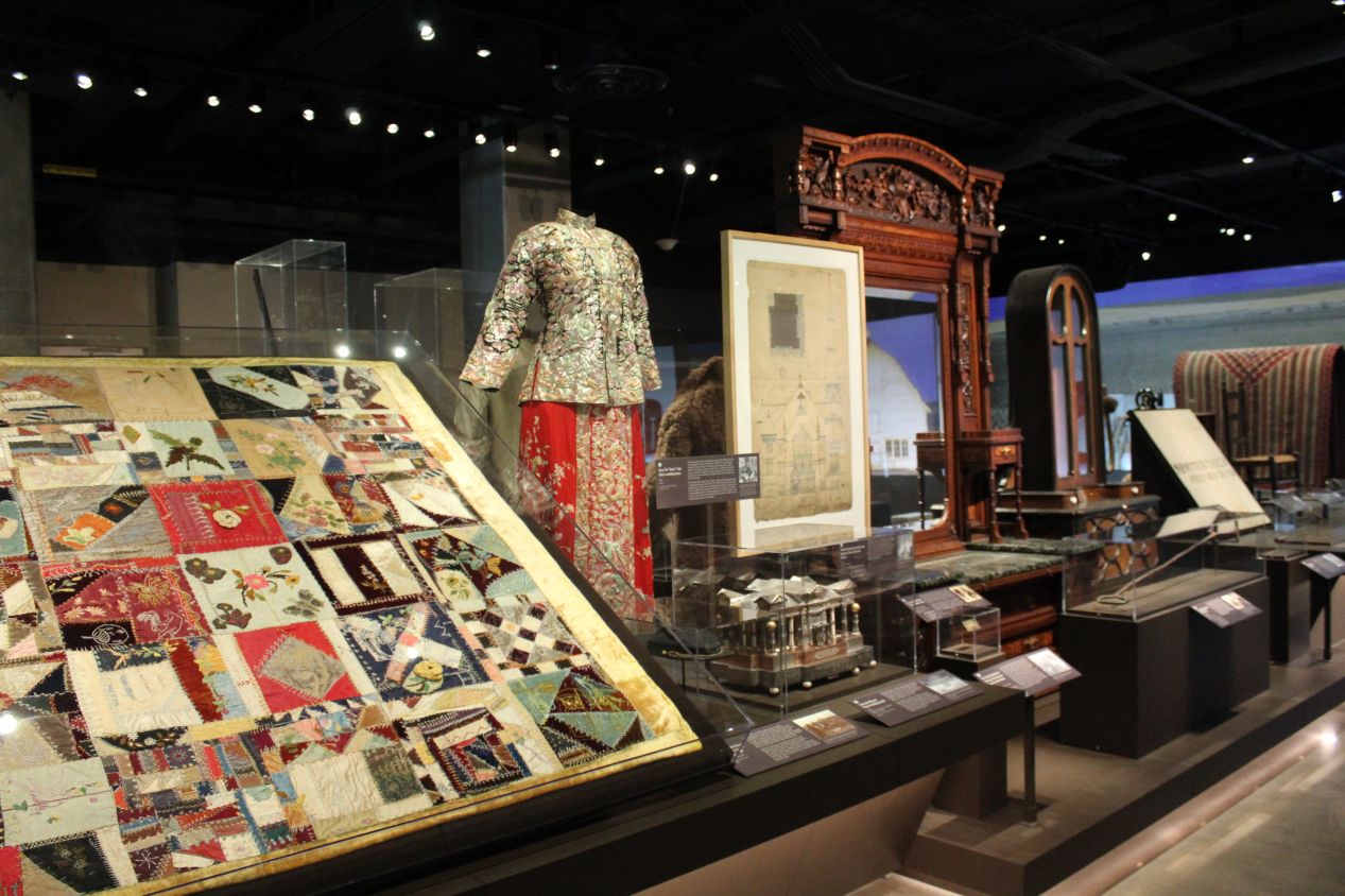
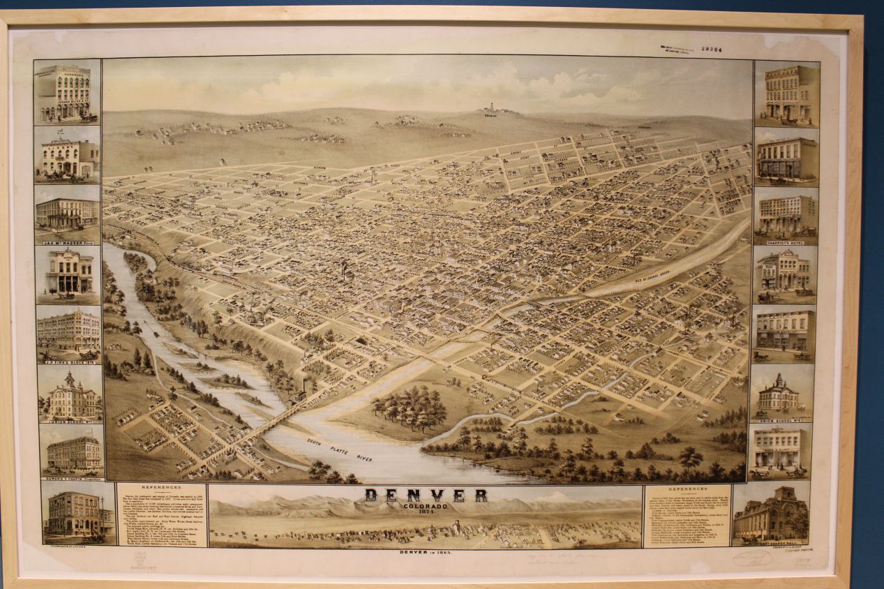
Other parts of the museum were a bit more serious in their subject matter. There was a fantastic exhibit featuring 100 different artifacts from throughout the state's history, used as little snapshots of different moments in time. A number of these were taken from the early frontier days of Colorado, when the state's economy was heavily tied to silver mining and went through repeated boom and bust cycles as commodity prices fluctuated. Other artifacts focused on the Native American community in Colorado, and I particularly liked the stylish design on the Arapahoe High School letter jacket featured here from one of the state's indigenous peoples. I also learned here that Denver had been awarded the 1976 Winter Olympics only to have voters reject the decision afterwards, making Denver the only city ever to reject an awarded Olympics bid. (Given the incredible corruption associated with the International Olympics Committee, this wasn't the worst decision.)
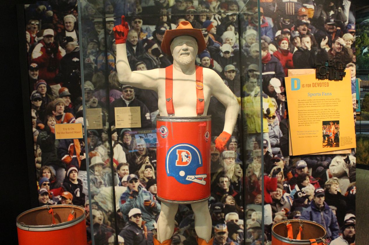
There was an additional exhibit in the museum showcasing Colorado's Hispanic community, which is significantly larger than most people outside of the state expect. Other parts of the museum looked at outdoor sports in Colorado and natural resources conversation. There was an interactive movie about the terrible destruction caused by the Dust Bowl in the 1930s, and the effect that it had on farming communities. And some of the topics highlighted by the museum were just silly, like the mention of the "Barrel Man" who became famous for wearing nothing more than a barrel to Denver Broncos football games in subzero temperatures. This was a fantastic museum and I had to stop myself from spending more time here so that I could still make it to my other planned destinations for the day. Definitely a great place to come visit for anyone in Denver.
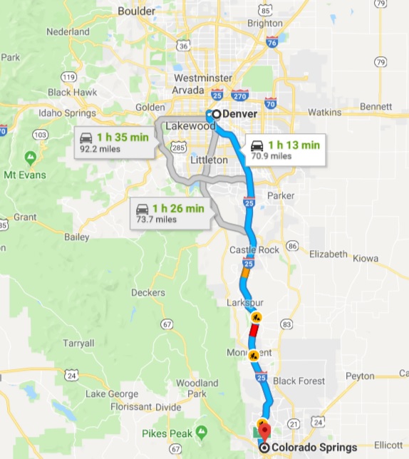
I bid farewell to Denver at this point and took the short drive south to Colorado Springs. This is a trip that takes a little more than an hour to drive on a good day; I ended up getting caught in some traffic and it took more like an hour and a half. My initial destination was not the city of Colorado Springs itself, but rather the Air Force Academy located about 15 miles / 25 kilometers to the north. The Air Force Academy is set off in its own separate area, and visitors have to go through a security check to drive onto the facilities. After showing my photo identification and allowing a quick search of my car, I was granted access to the Air Force grounds.
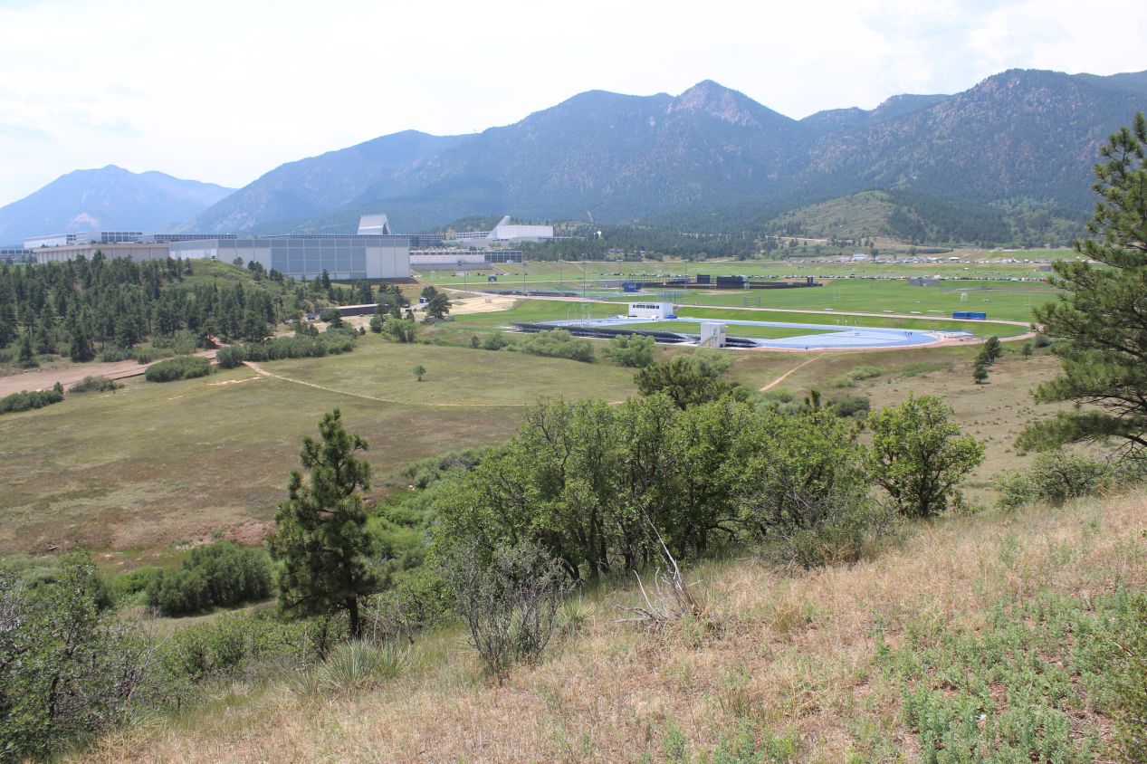
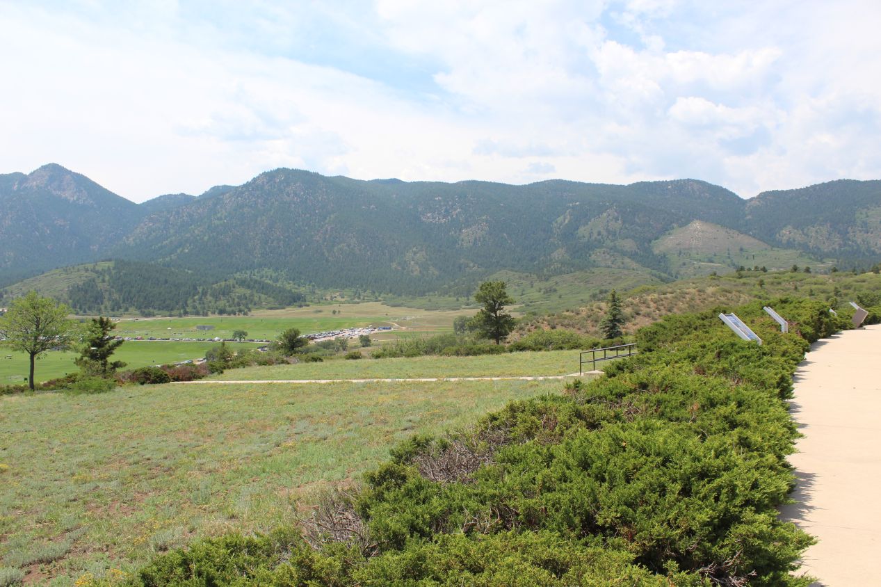
There's an overlook with a small parking lot on Academy Drive as visitors approach the Air Force Academy, and this is the scenic overview that greets them. I was looking out over some of the athletics fields that surround the main buildings of the academy, and the campus buildings off to my left were dwarfed by the Rocky mountains rising up in the distance. Everything that I had ever read about the Air Force Academy talked about how the campus was situated in a gorgeous location, and I certainly couldn't disagree with that opinion. The mountains off to the west were a perfect thematic choice for a service academy geared around flying through the skies.
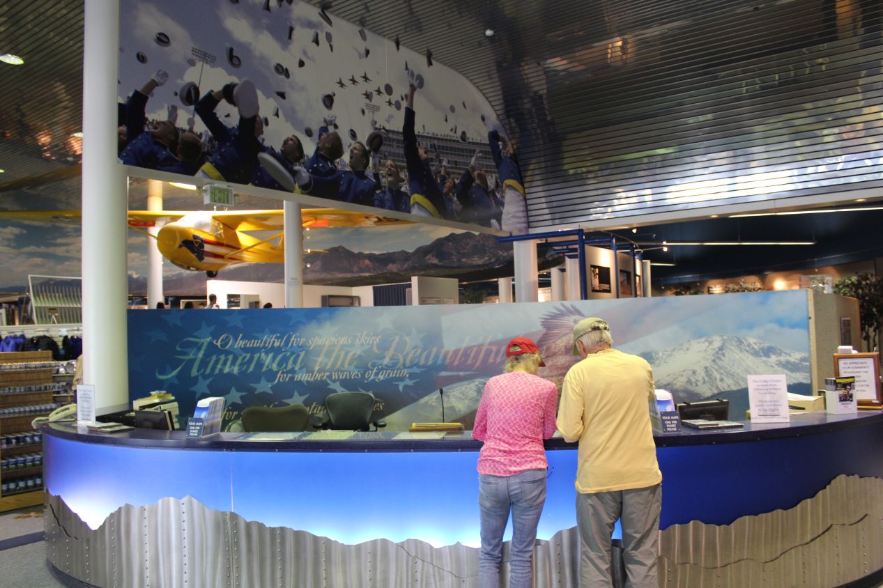

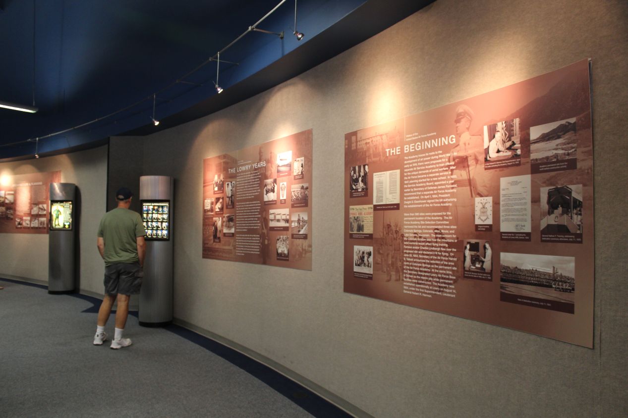
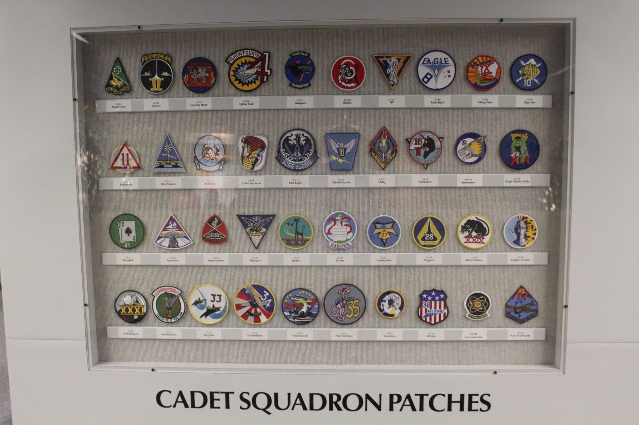
I started out my visit to the academy by stopping at the visitor center, which is named after the somewhat infamous failed 1964 presidential candidate Barry Goldwater. The visitor center had the usual extensive supply of Air Force branded merchandise, lots of apparel featuring the school logo or its falcon mascot. More importantly, it also had a brief background history of the Air Force Academy itself, which graduated its first class back in 1959. There was a serious debate about where to place the academy back in the 1950s, and it nearly ended up in Alton, Illinois or Lake Geneva, Wisconsin before Colorado Springs ultimately was selected as the location. The visitor center also discussed what daily life is like for the cadets, who undergo intense training during their four years here. The first year cadets have no access to televisions in their dorms as their behavior is strictly regimented. It looks like a harsh training period that they go through, but by the same token, that kind of experience can also forge extremely strong friendships and sometimes bring out the best in individuals. There doesn't seem to be a shortage of people who want to apply for the limited spots at the Air Force Academy, as the current classes admit about 1200 cadets each year and there are always many more applicants than spots available.
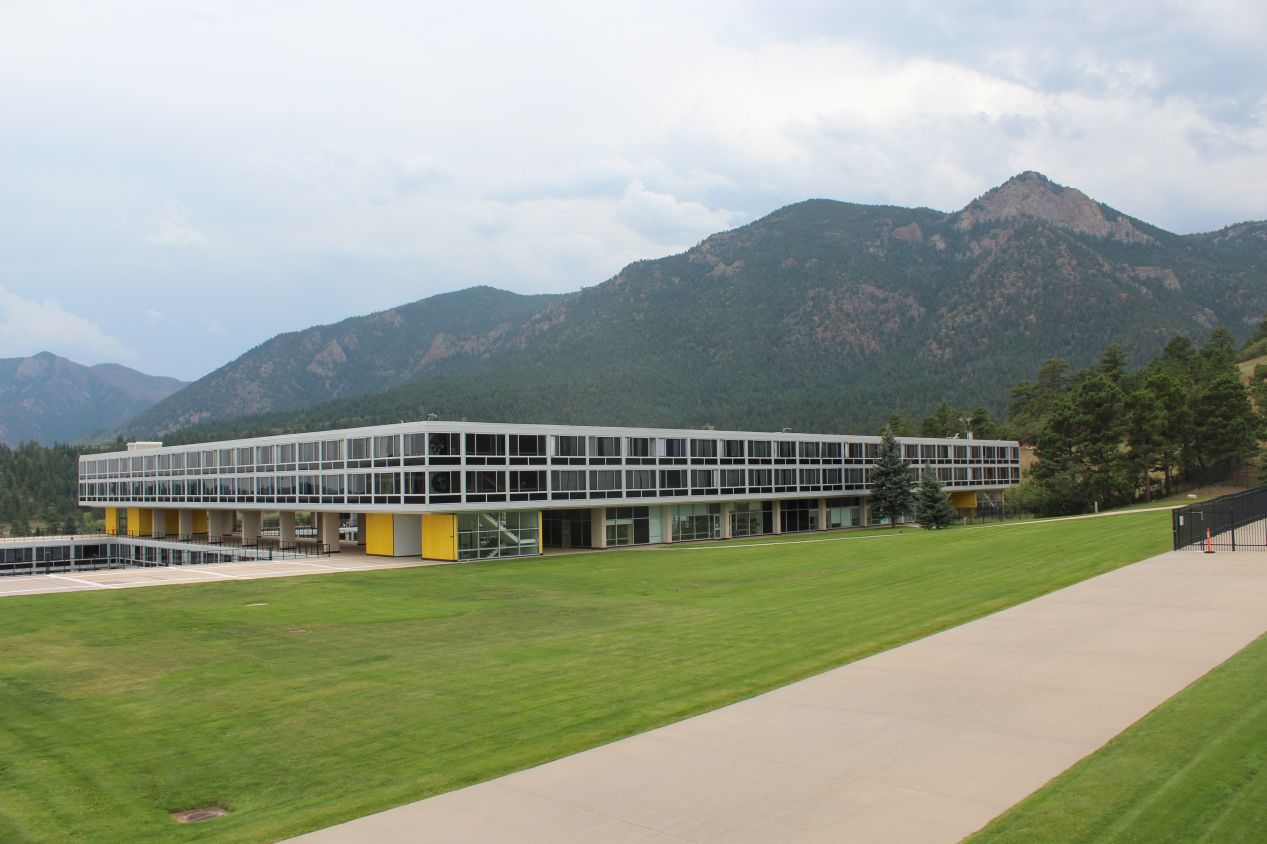
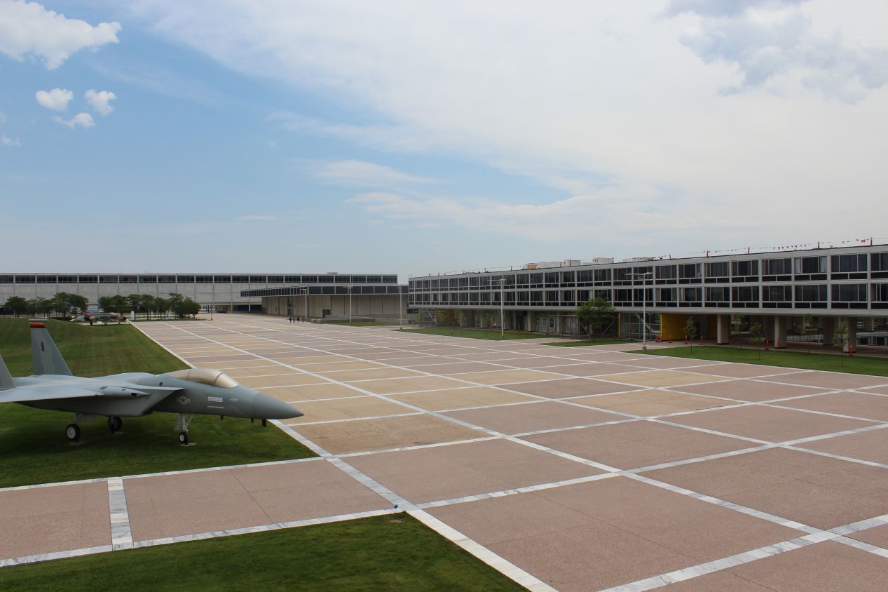
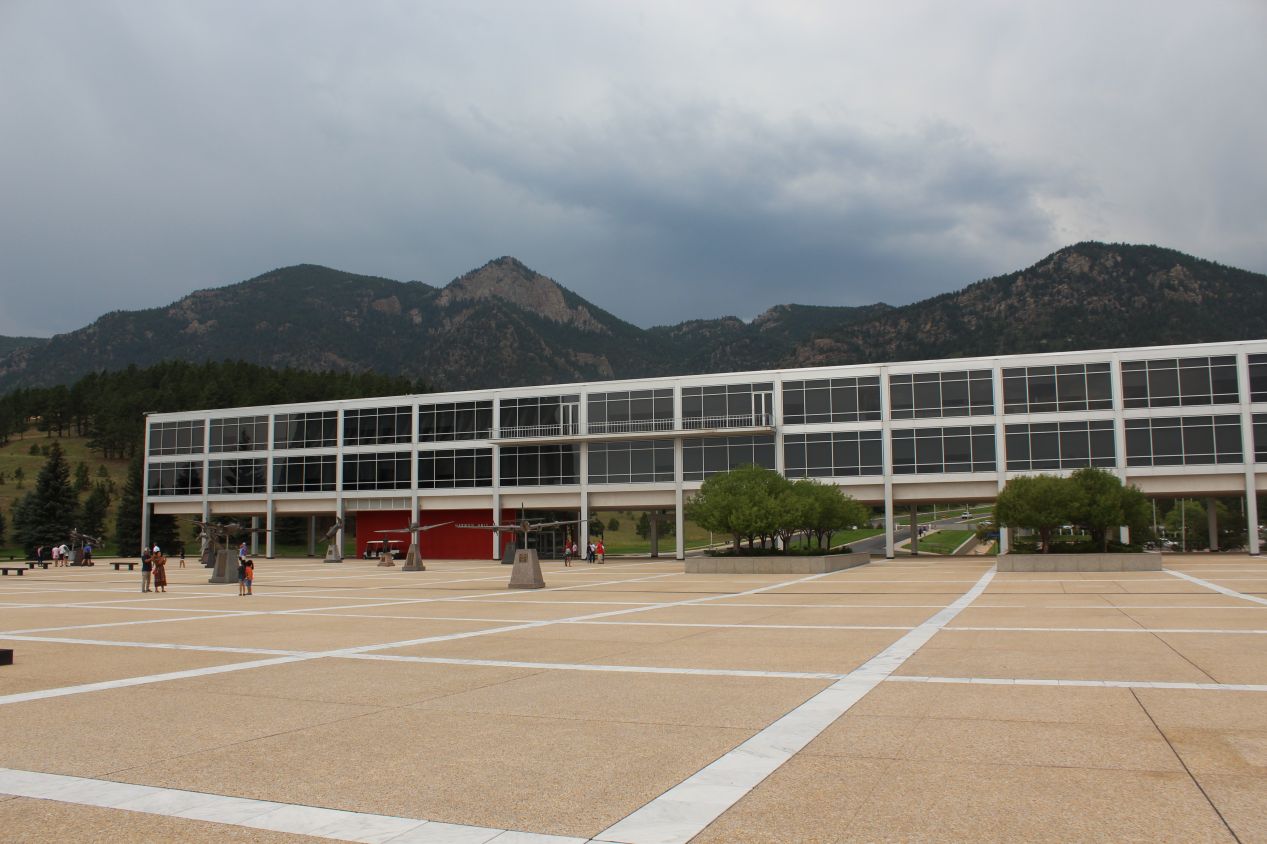
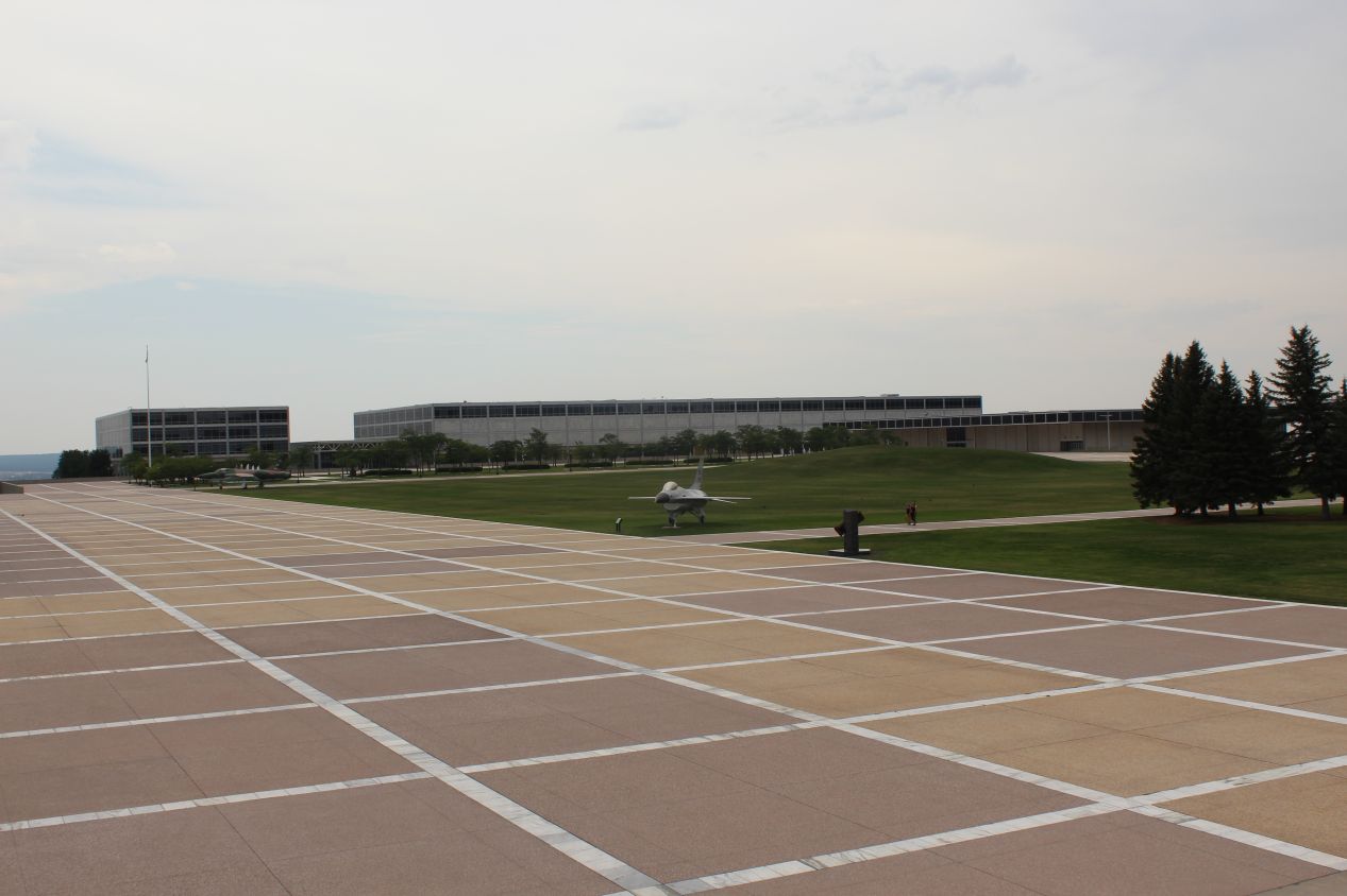
It was a short walk from the visitor center to the central quad where most of the main buildings on campus were located. I was surprised to see how small the Air Force Academy was overall, although in retrospect I should have realized that with roughly 5000 students in total there wouldn't be a need for enormous facilities. There were about half a dozen blocky classroom buildings in this central area, and that was essentially everything. The first two buildings pictured above were two of the cadet dormitories, where the cadets live with their assigned squadrons. They do almost everything by squad during their four years at the academy, and that starts with living together in these groups. I could see some of the squadron insignias peeking out through the windows of those dorms off in the distance. With this being the Air Force Academy, there were also a number of planes parked out on the parade grounds, and sculptures of planes located near the administration building in Harmon Hall. I liked how the academy buildings all seemed to use the same consistent architectural style, lots of square windows with extensive use of aluminum on building exteriors designed to suggest the outer skin of aircraft. This was a controversial form of modernist architecture at the time of the academy's construction, but has come over time to be seen as a classic form of American design.
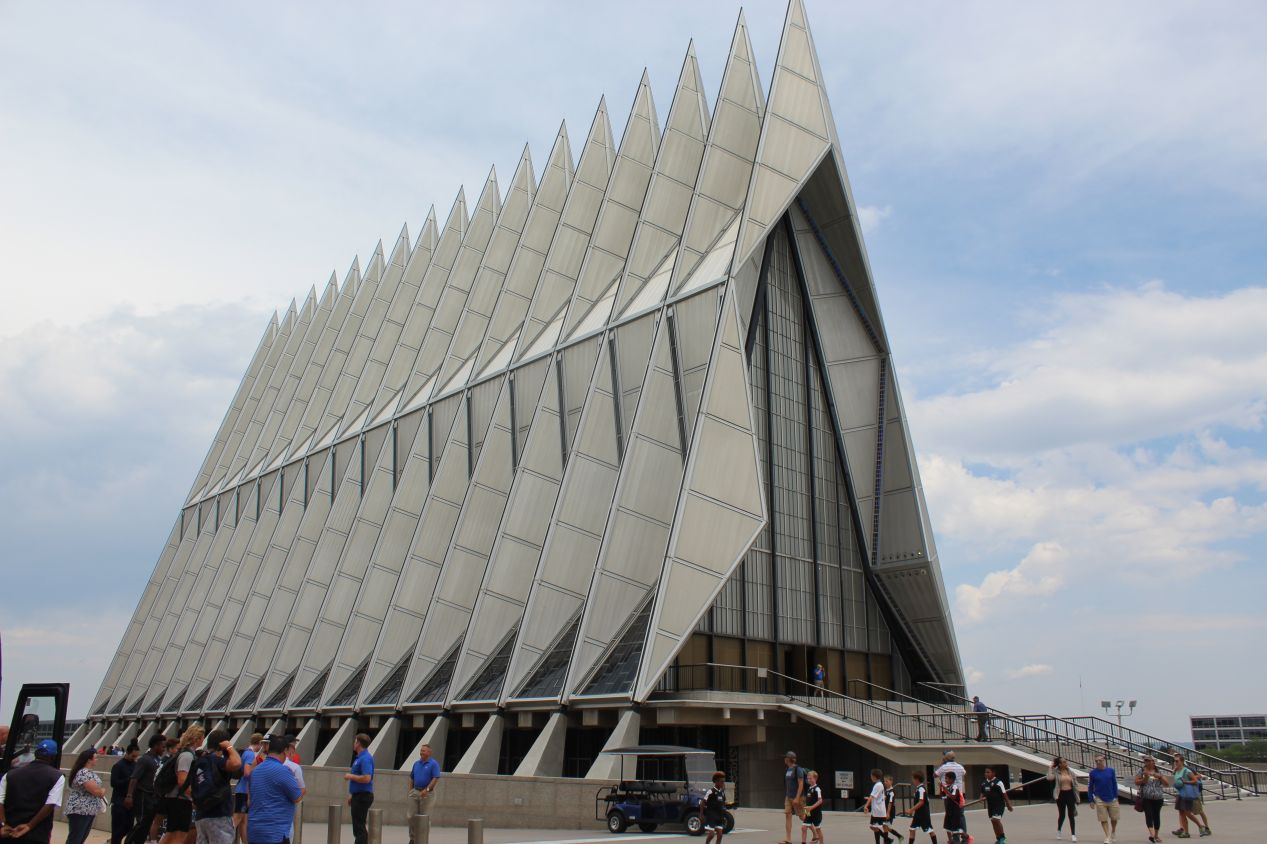
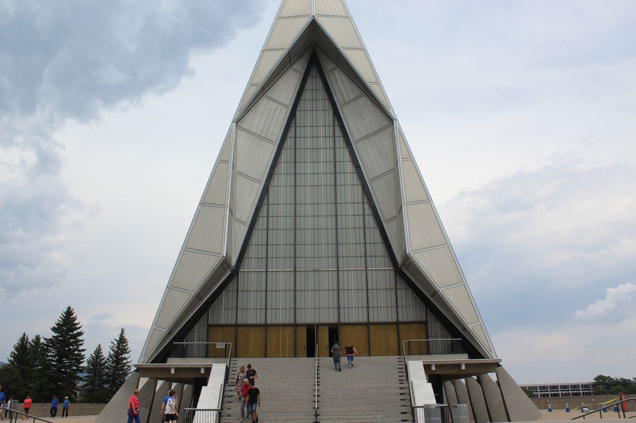
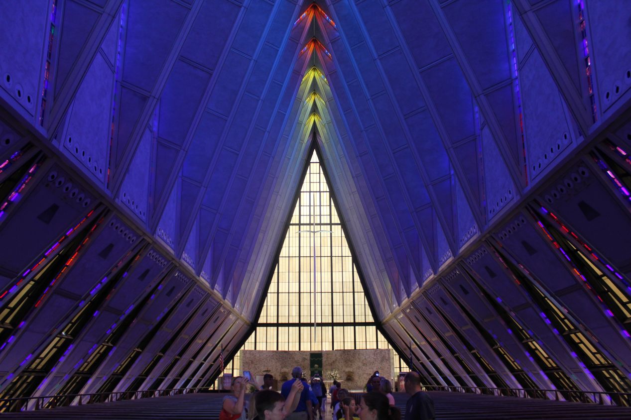
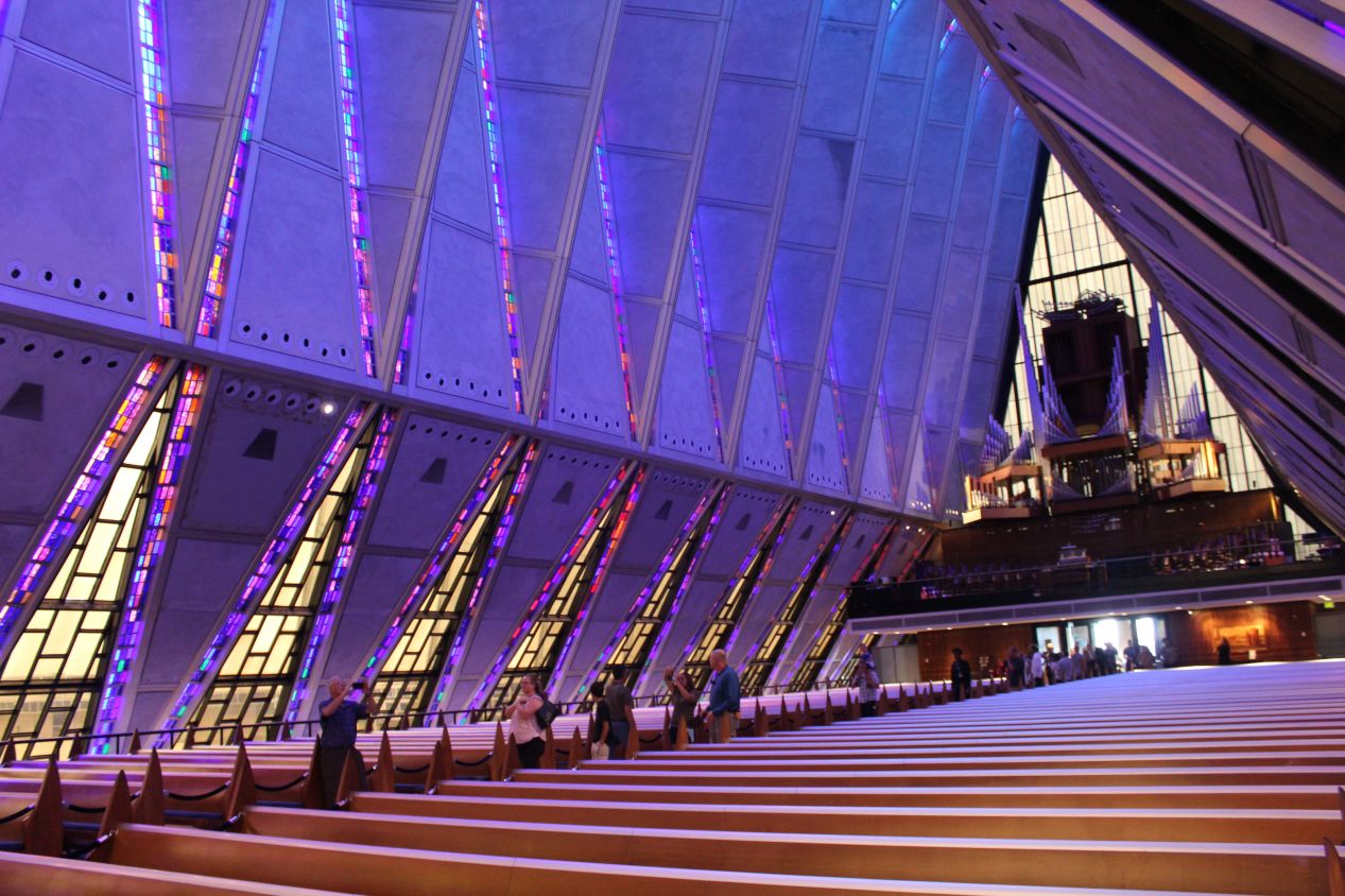
The height of the controvery about the architecture chosen for the Air Force Academy was centered around this building, the religious structure known as Cadet Chapel. Completed in 1962, this building is the defining feature of the Air Force Academy and it looked nothing at all like any other church I had visited previously. I think that the closest match would be the church in Reykjavik, Iceland known as the Hallgrímskirkja, since that church also looks a little bit like a spaceship, but Cadet Chapel is something else entirely. The core of this structure is a tubular steel frame of 100 identical tetrahedrons, each 75 feet / 23 meters long, weighing five tons and enclosed with aluminum panels. The tetrahedrons are spaced a foot apart, creating gaps in the framework that are filled with colorful stained glass. The overall effect is strikingly alien, as if a spaceship from another world had decided to touch down on the campus grounds.
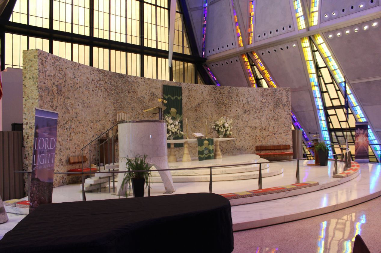
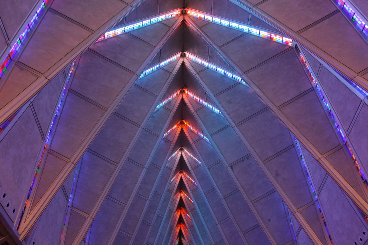
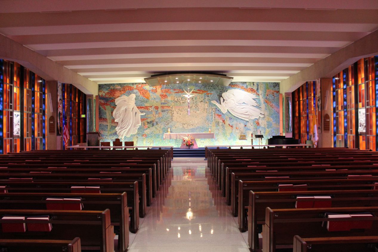
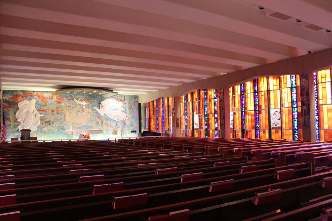
I had to include a few more pictures of the chapel here, these first two capturing the altar area and then the ceiling. It's easy to see why some people hate this design due to the unorthodox nature of the structure. It certainly doesn't resemble a traditional cathedral, at least outside of the continued presence of stained glass along the side walls. I loved this place right from the start, however, and it immediately shot up near the top of my personal favorite churches. My all time favorite is still Sainte-Chappelle in Paris but this place was definitely up there. Cadet Chapel also shares another feature in common with Sainte-Chappelle: there are two main levels in the building, with the featured place of worship on the top floor. The Protestant Chapel is the one that gets most of the attention and has the primary place of honor. Down on the bottom floor of Cadet Chapel is the Catholic Chapel, the much smaller venue depicted in the last two pictures. While this was a fine room in its own right, the Catholic Chapel clearly plays a secondhand role in the building. There's actually a Jewish chapel as well in an even smaller room that I didn't know about when I visited, and a Buddhist "chapel" which gets a single altar and all of 300 square feet to use for worship. While I appreciate that the academy was trying to accomodate other faiths, giving the non-Protestant denominations such clearly inferior setups isn't a great look. Why not allow everyone to use the incredible main chapel instead of creating these separate facilites?
If you were looking closely at the outside pictures above, you may have noticed that the sky over the mountains was starting to get pretty dark. I was hurrying through the end of my visit to Cadet Chapel because it was quite clearly going to rain outside and I wanted to beat the weather. It started raining about five minutes after I left the Air Force Academy, and the storm that descended was ferocious. It was one of those storms that was so violent driving became nearly impossible. I used this time to eat a late lunch at a fast food restaurant, and the rain was coming down so hard that I could barely see my car in the parking lot. At the height of the storm there was almost continuous lightning flashing across the sky, and I wished that I'd had my camera with me instead of leaving it in the car. It was a very good thing that I hadn't been caught outside in this weather.
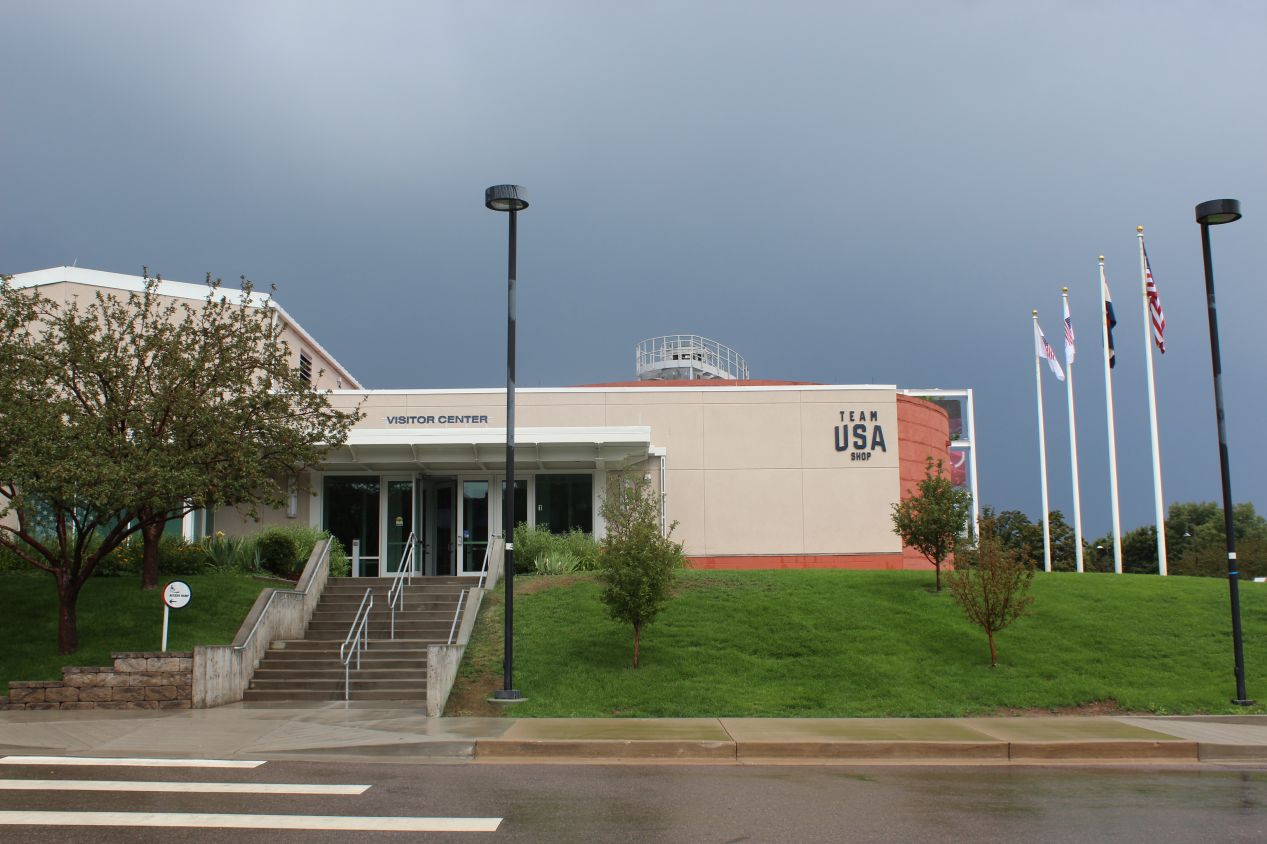
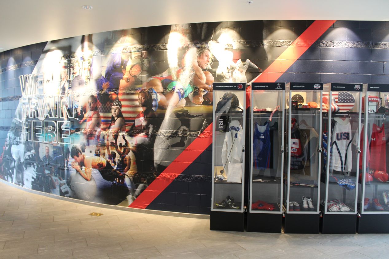
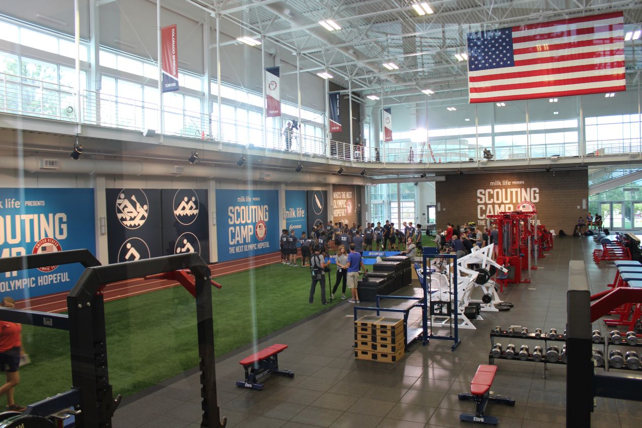
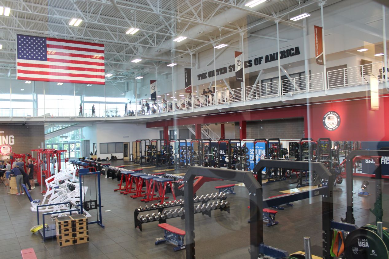
The rain was slowing to a drizzle by the time that I reached my next destination in Colorado Springs. I was visiting the United States Olympic Training Center situated in the downtown, which has been the home of the U.S. Olympic Committee since 1978. Colorado Springs was chosen as the site for an Olympic Training Center due to the high altitute, which sits at about 6000 feet / 1800 meters here, and is thought to help improve training effectiveness for athletes. I signed up for the next tour of the Olympic Training Center, which was hosted by a young woman who was training for the skeleton event at the Winter Olympics. She said that she was currently ranked third in the USA at skeleton, which is high enough to use the training center facilities for free, but unfortunately not high enough to make the Olympic team itself since each country can only bring one athlete for skeleton. The first place that we stopped to see was the weightlifting center, which looked similar to weightlifting areas that I'd seen on college campuses for their own athletics teams. The difference here was all of the "United States of America" branding and the presence of camera crews filming a reality TV show called "Scouting Camp: The Next Olympic Hopeful." I believe that the idea was to follow around a bunch of Olympic hopefuls to see if any of them were able to make the official team. Some Google searching revealed that the winner of the first season of this show is now competing as part of the USA Bobsled national team, so it looks like this was a real competition and not just a publicity stunt.

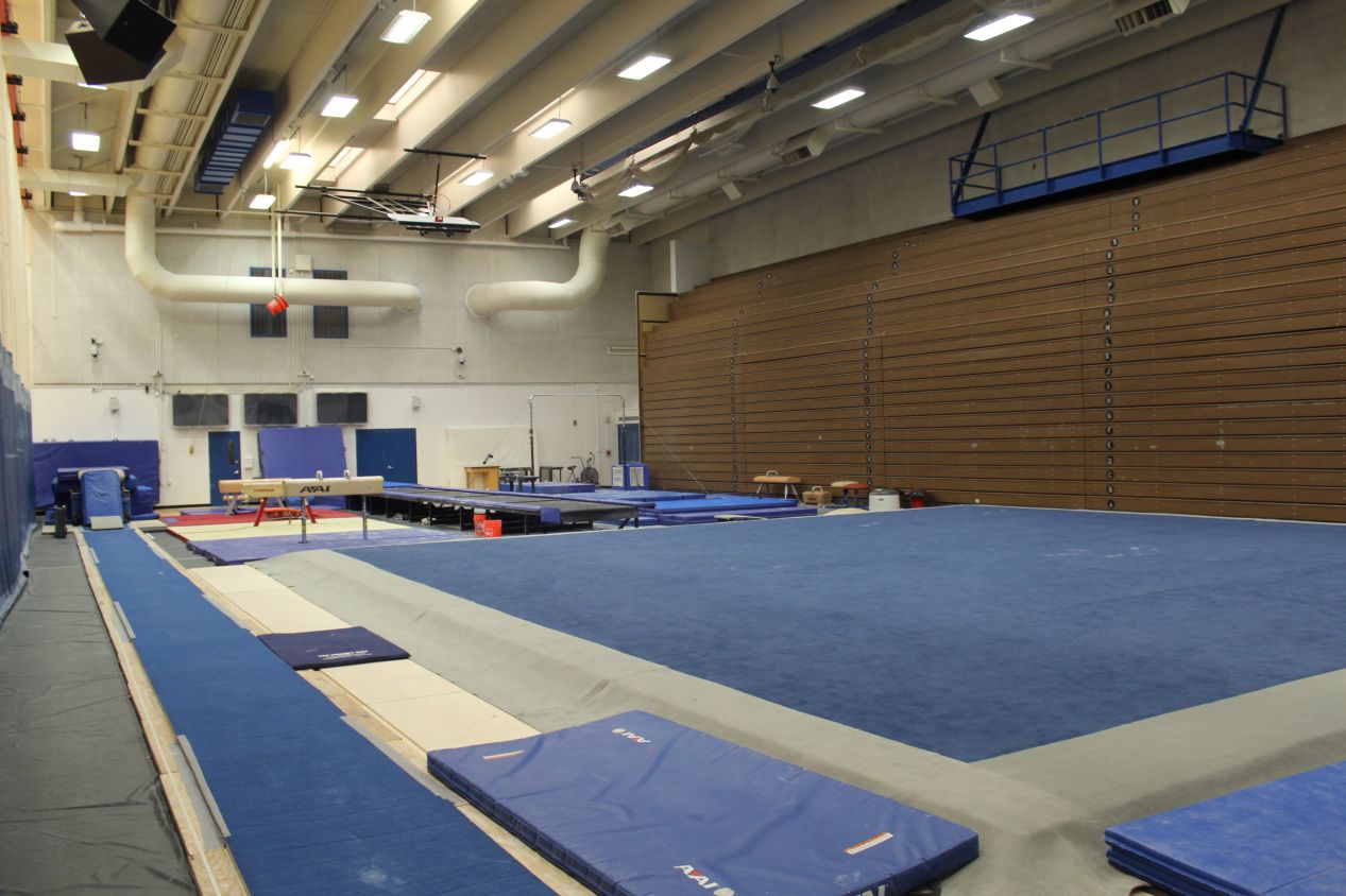
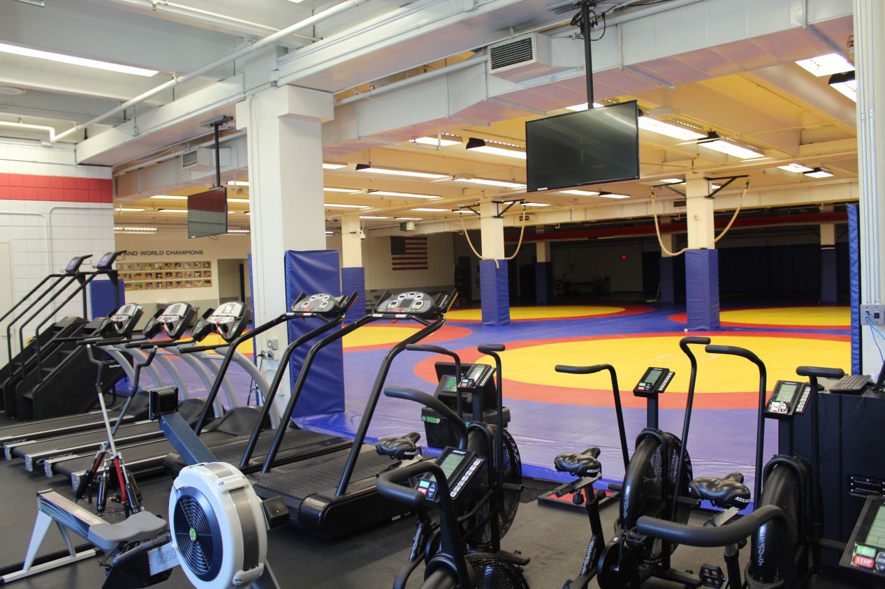
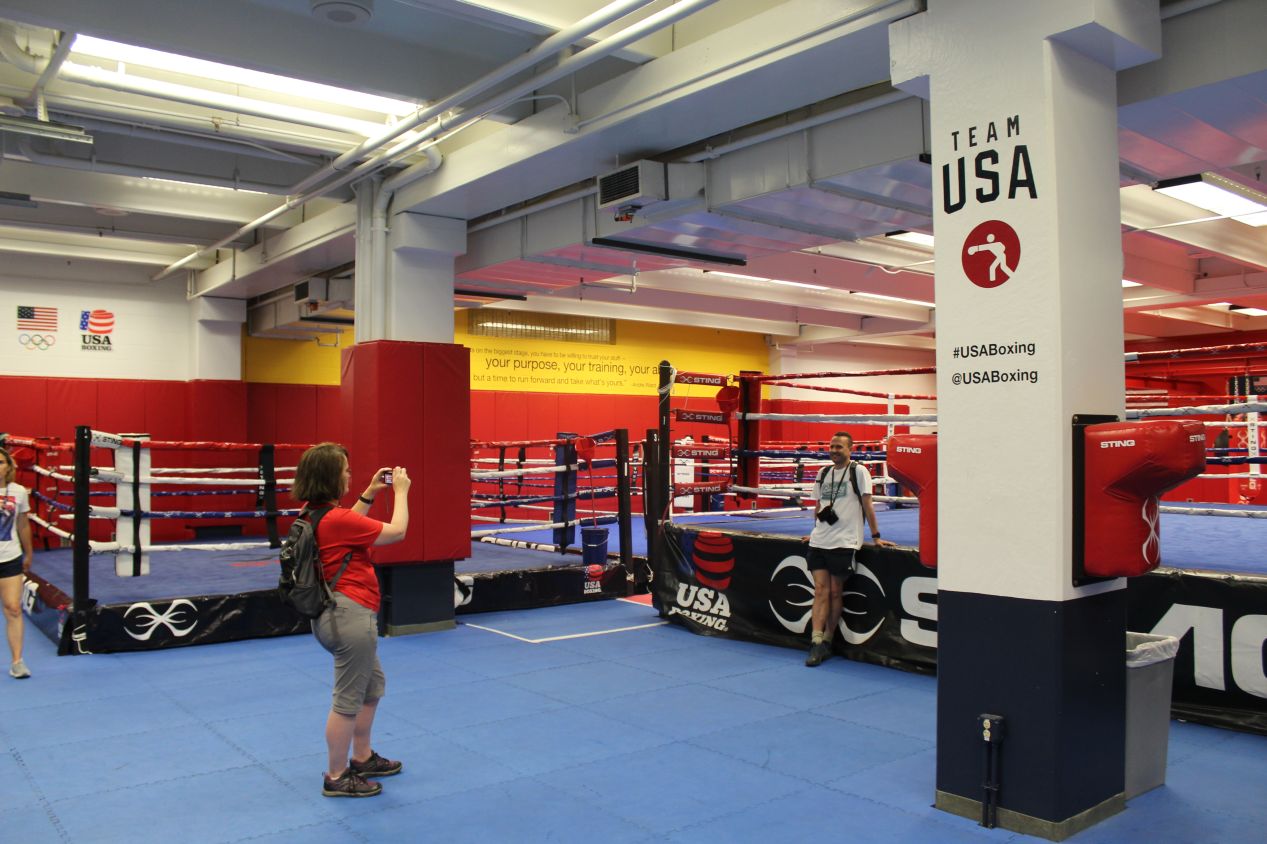
The remainder of the tour took our group to see the rest of the facilities at the Olympic Training Center. There were indoor basketball courts which were being used by a group of high school aged volleyball players at the time, and a full gynmastics setup which was empty for the moment. We saw an Olympic-sized swimming pool where a number of athletes were swimming laps, and then the large facilities for USA wrestling and boxing. It's quite rare to see anything related to boxing anymore; I'm not sure if I had ever visited a boxing ring in person previously. We also saw the shooting range, which was dark and didn't photograph particularly well but did demonstrate the ludicrously small targets that athletes shoot at in Olympic competition. We did not see the most expensive equipment at the training center, a pair of special rooms that can adjust temperature, humidity, and (simulated) elevation to provide a customized training environment. Those are mostly off limits to the public since they are believed to provide a competitive advantage to American athletes training for the Olympics. Overall, the tour lasted for about an hour and did a great job of showcasing the facilites in use by current Olympic athletes. It's well worth visiting for anyone interested in the subject.
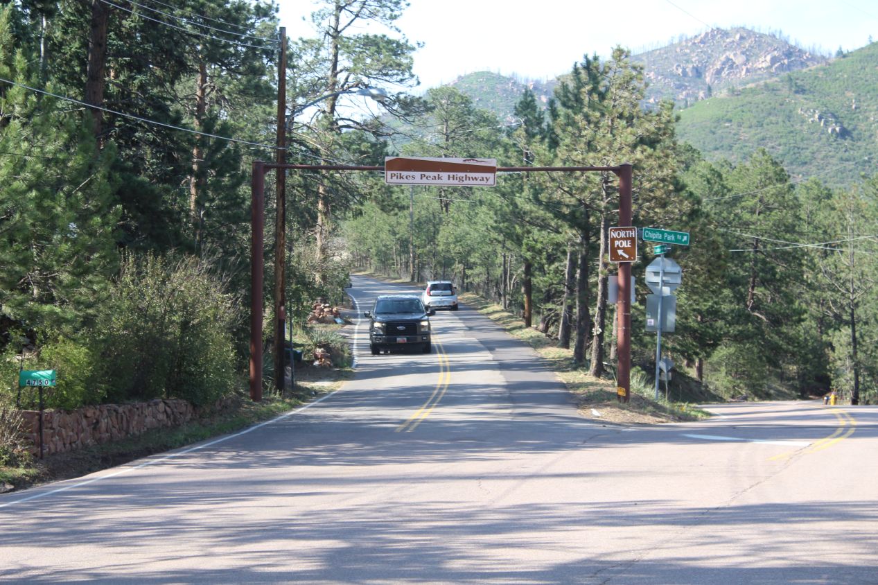
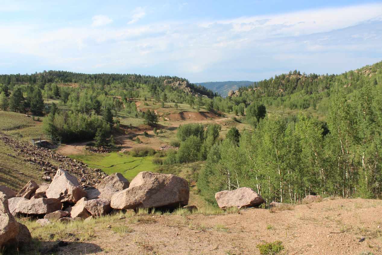
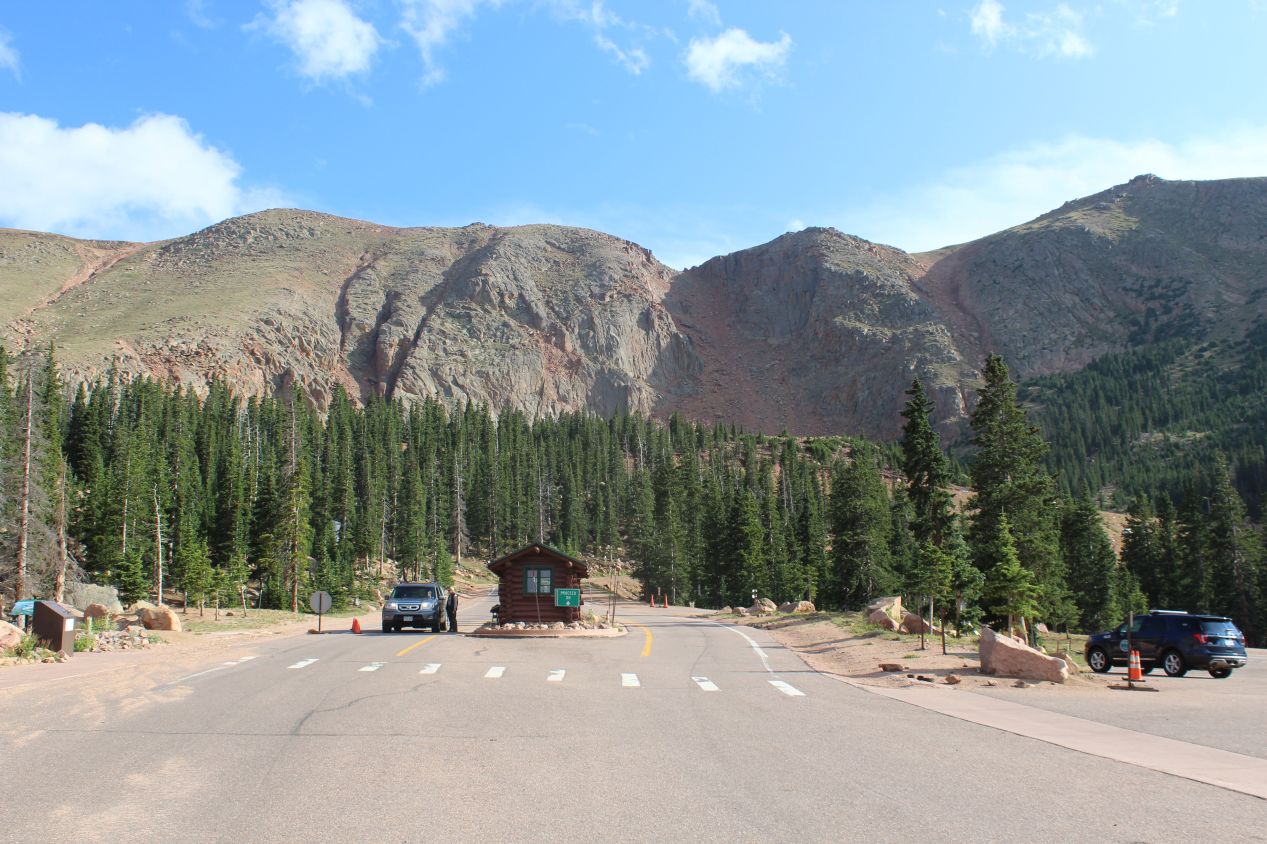
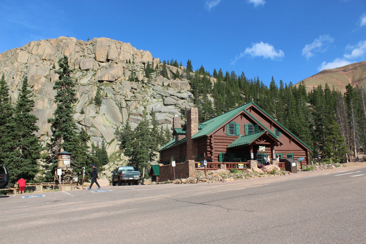
For my last destination of the day, I decided that I wanted to do the drive up to the top of Pike's Peak. This is one of the most famous mountains in Colorado located about 10 miles / 16 kilometers to the west of Colorado Springs, and the mountain is unique for having a road that runs all the way to the summit. This is a rare opportunity for non-climbers to ascend to the top of a mountain that stretches above 14,000 feet of elevation. My family had done the drive up to the top of Pike's Peak when we visited in 1991, and I thought it would be fun to make the trip once again and watch the sun setting from atop the mountain. The lower stretches of the road were mostly nondescript, as I headed up a single lane highway through a forest of pine trees. The sun was shining and it was hard to believe that there had been a turbulent storm just a few hours earlier. The last two pictures are from a ranger station known as Glen Cove about 7 miles below the end of the highway at the peak. There's a small gift store and restaurant here, and the spot is most notable because park staff check the brakes on cars coming downhill and make them stop to cool off their vehicles if the brakes have heated up too much. I remember stopping here as a child when that happened to our car, and I expected that I'd be facing the same situation again on my trip down the mountain.
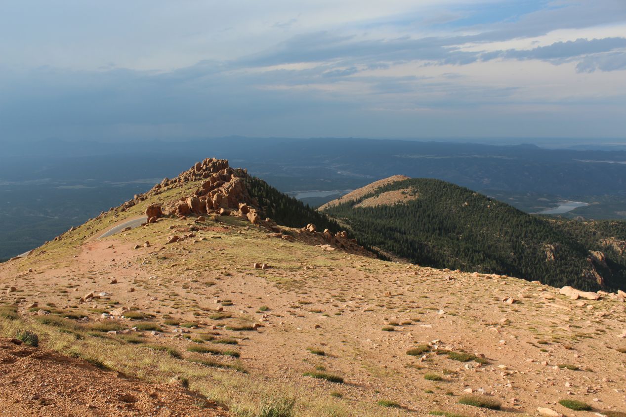
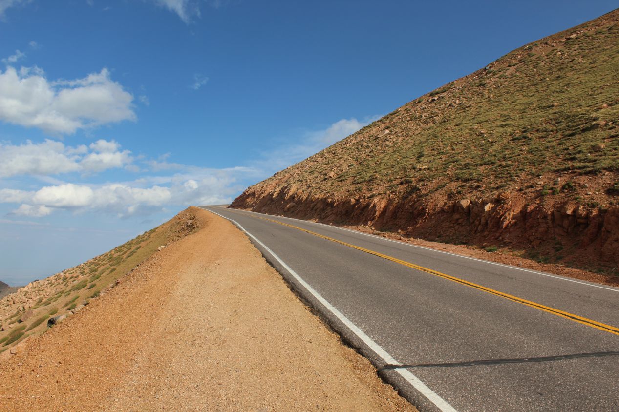
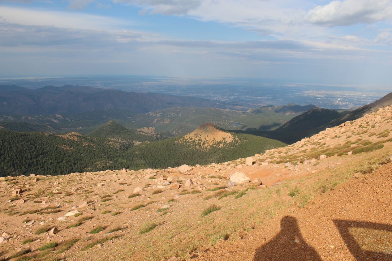
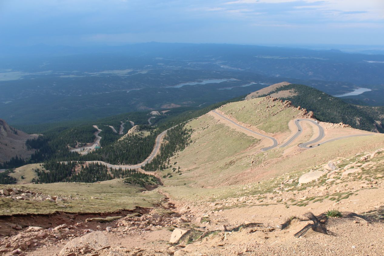
I reached the treeline not far above the ranger station, and at that point the surrounding vegetation disappeared entirely, opening up wide vistas of the landscape on all sides. The road heading up to the summit of Pike's Peak is highly exposed to the elements, and the presence of high winds can be dangerous for cars. The park service sometimes has to shut down the road above the ranger station when the weather conditions get too bad. On this evening, the sun was setting in the west as evening approached and it was bathing the mountainside in a soft golden glow. This was clearly one of the best times to visit Pike's Peak, with few other drivers on the road and the sunset making my images look especially photogenic.
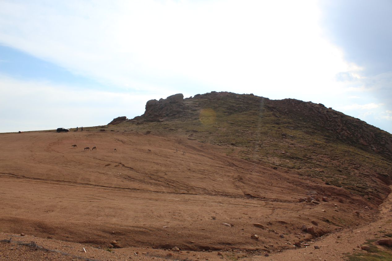
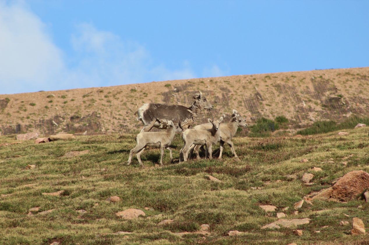
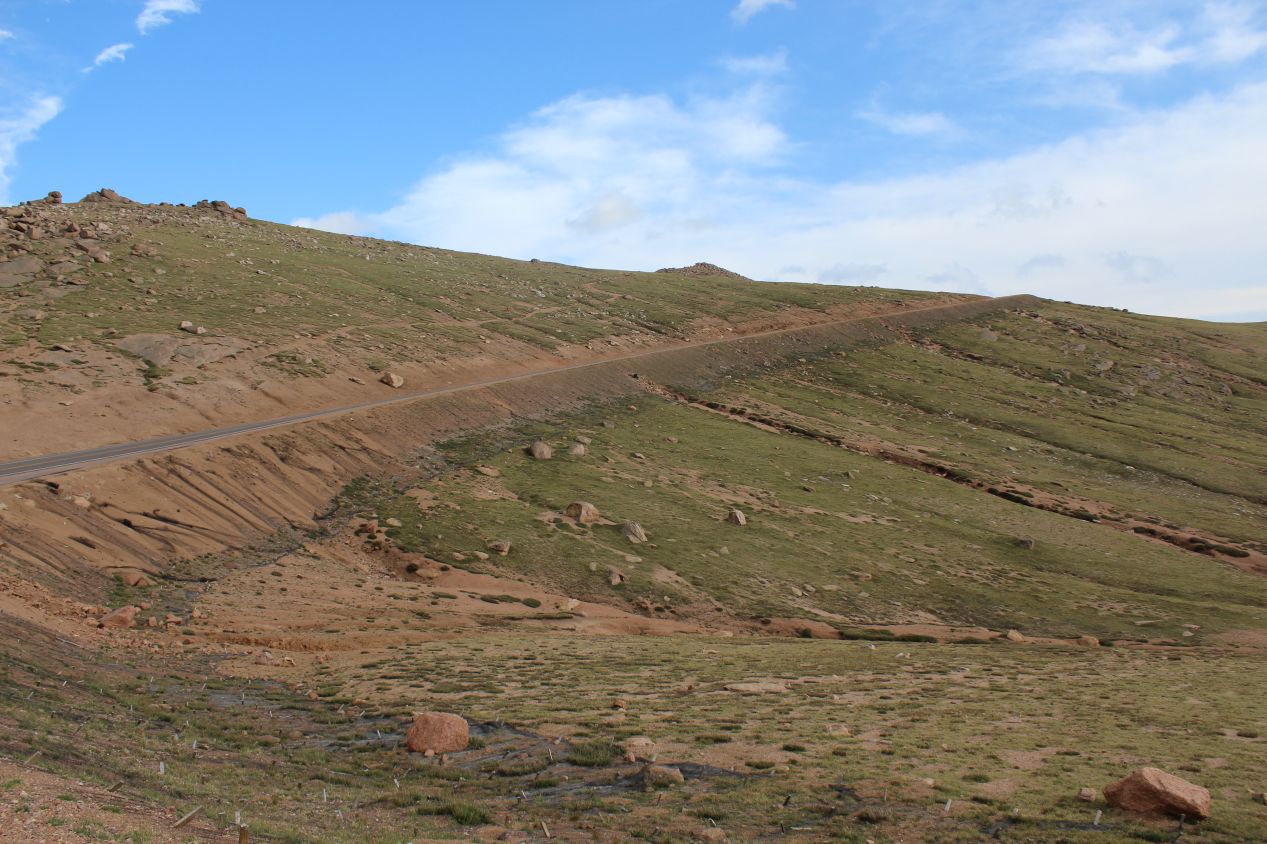
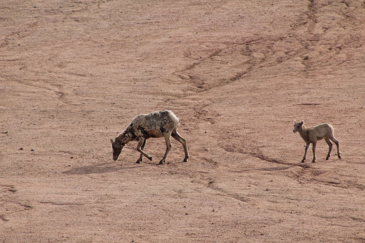
The climate up at the top of Pike's Peak is a harsh one, a polar environment that prevents everything but the hardiest plants from being able to survive. As I drove up near the summit, I began to see mostly exposed rock faces interspersed with tough mosses and lichens that clung to the thin soil. However, there were still some animals living up here in the form of hardy mountain goats. I spotted a small herd of the animals moving together across a ridge, with the parents looking out for their kids (pun intended). It was reassuring to see that there was a little life here in this unique alpine environment.
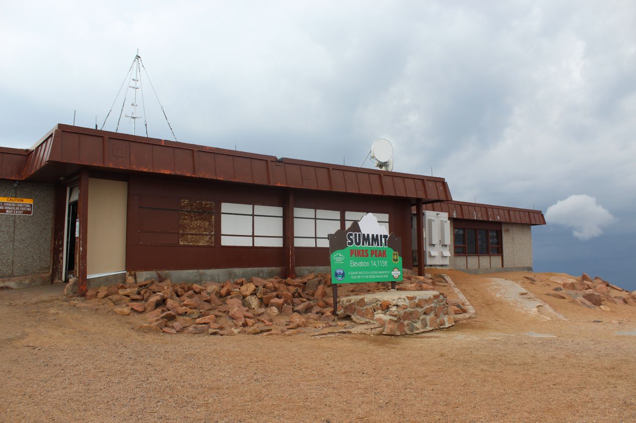
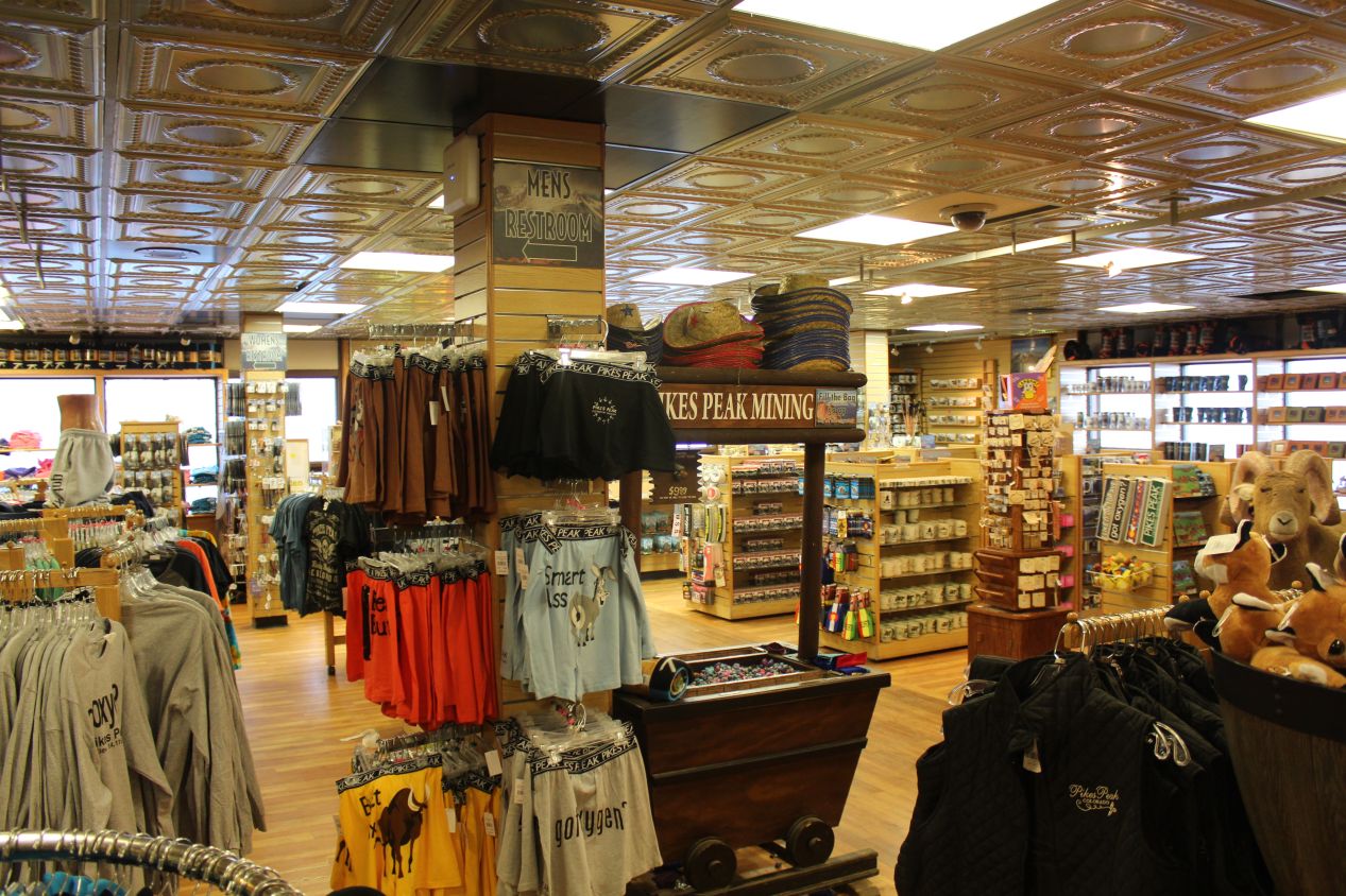
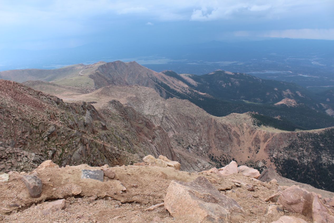
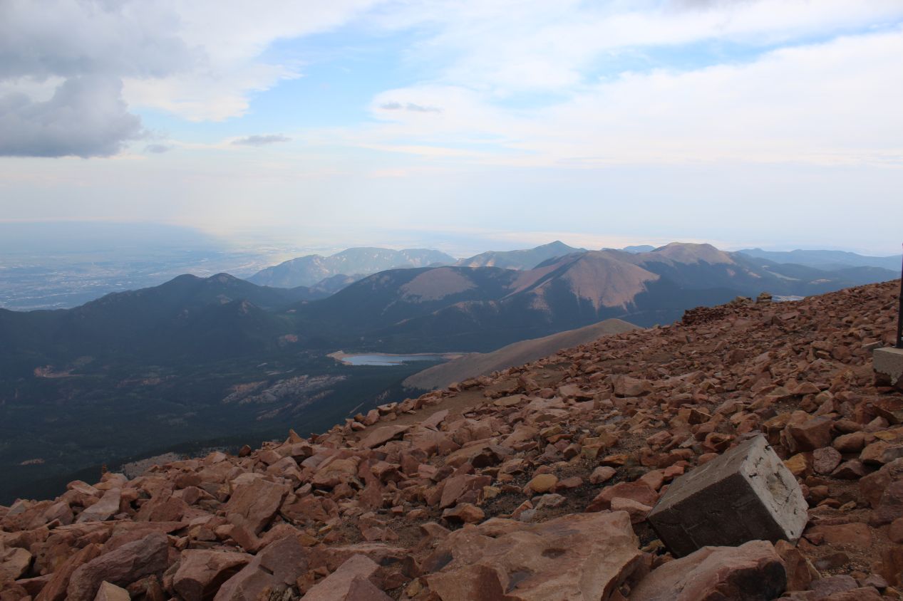
I reached the summit of Peak's Peak at about 7:00 PM with the sun setting low in the sky. The official elevation of the mountaintop is 14,115 feet (4302 meters) and the elevation effects were definitely noticeable. At this elevation the partial pressure of oxygen is only about 60% of that at sea level, and I had to breathe more frequently to make sure that I was getting enough oxygen. I felt slightly dizzy the whole time that I was up at the summit due to this mild form of altitude sickness. Then there was also the temperature change: it was in the low 40s Fahrenheit (about 5 degrees Celsius) and I was still dressed for summer weather with shorts and a light jacket. Together with the wind whipping about at the summit, it was chilly indeed. Fortunately there was a gift shop and restaurant where I could duck inside and warm up for a bit, although the restaurant had already closed for the evening. The tradeoff for the rough conditions came in the form of the views, which were as spectacular as advertised when looking down at the surrounding mountains. At this elevation the curve of the Earth's suface off at the horizon was easy to see, and if it hadn't been cloudy up at the summit I could have seen almost to the state border with Kansas off to the east. It felt again as if I were standing on the roof of the world itself.
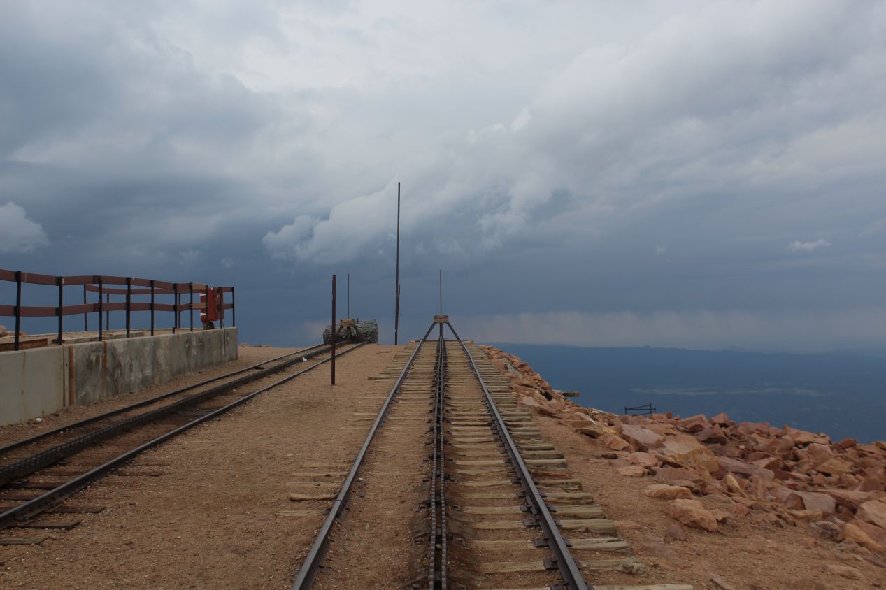
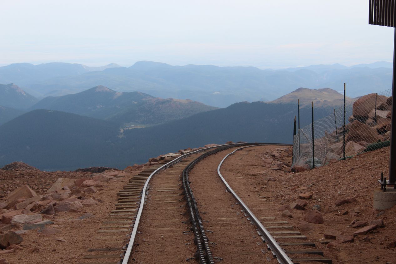
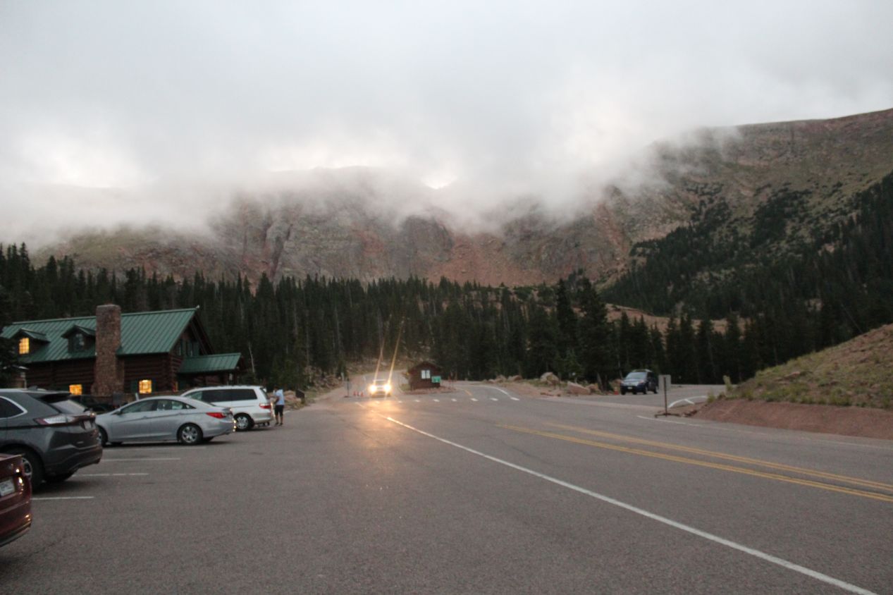
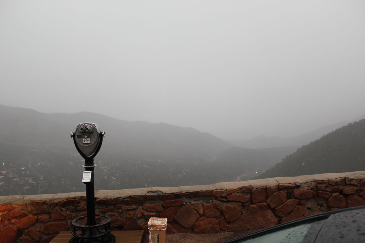
There's a cog railroad that still runs up to the top of Pike's Peak, and I found myself standing at the end of the tracks next to the gift store. That was when I saw the incoming weather front: another walls of storms advancing off in the distance, clearly headed in my direction. Thunderstorms can appear quickly up in the mountains and I realized that it was time to be on my way before that downpour caught me on the exposed upper reaches of the mountain. I started heading down the road and fortunately did manage to get past the worst switchback turns before the rain arrived. When it showed up though, it came in a soaking torrent that quickly reduced visibility to almost nothing. I was told to wait for half an hour at the ranger station to let my brakes cool down, but I didn't want to wait that long for the storm to keep strengthening. I waited about ten minutes and then got moving again. It was a difficult drive down the rest of the highway, helped only by the fact that there was no one else present by this point. I stopped once to take the last picture above, which left me soaked in the ten seconds that it took to get out of the car and snap that image. This storm wasn't quite as bad as the one from earlier in the day, but it still left me with a dreary drive back to my hotel for the night. I had booked a place on the eastern side of Colorado Springs because it was cheaper, and that meant a long drive from Peak's Peak that took over an hour. It might have been better to pay slightly more and stay a bit closer to the mountains.
Weather notwithstanding, it had been a busy day for sightseeing once again. I enjoyed having a chance to spend a bit more time in downtown Denver and then to visit the Air Force Academy, the Olympic Training Center, and Pikes Peak in the Colorado Springs area. This was only a small fraction of the available attractions in these cities, of course, and as always I wished that I could have spent more time exploring the area. There's a lot of great hiking around Colorado Springs, and I didn't end up stopping in Garden of the Gods on this trip to see the natural rock formations, which was one of our favorite spots in Colorado on my previous childhood visit. Unfortunately you can't see everything and always have to pick and choose. The next day would see me venture south into New Mexico for the first of three days in that state, with the goal of visiting Taos and Santa Fe. While I was leaving Colorado once again, I hoped to come back another time for a return visit.


